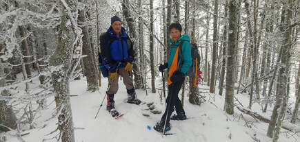
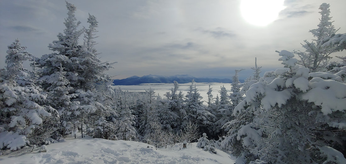
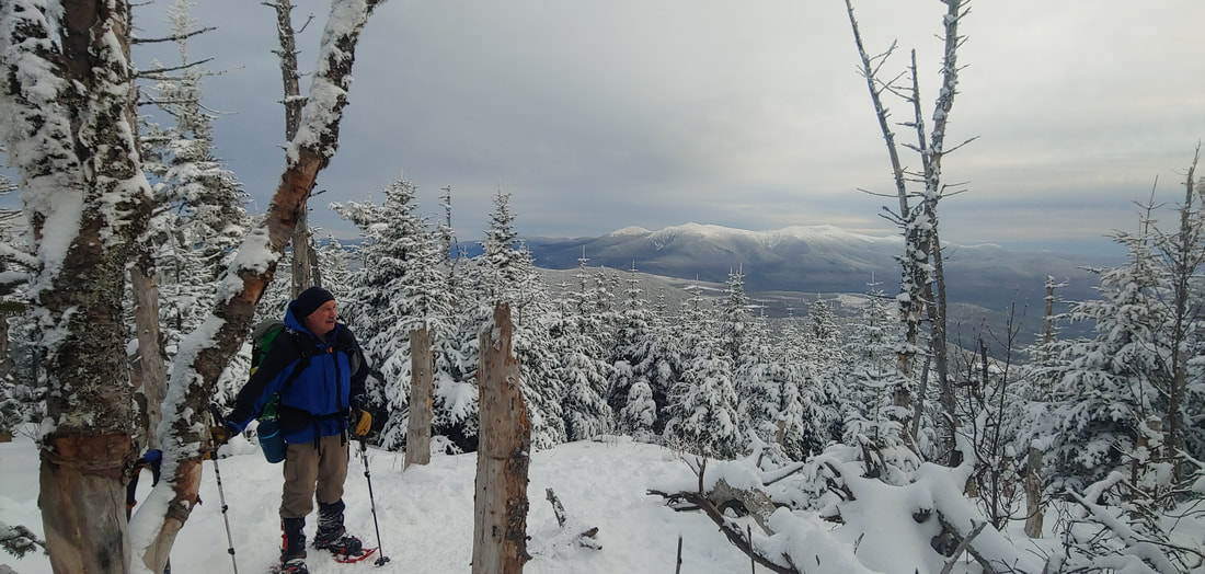
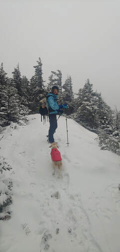
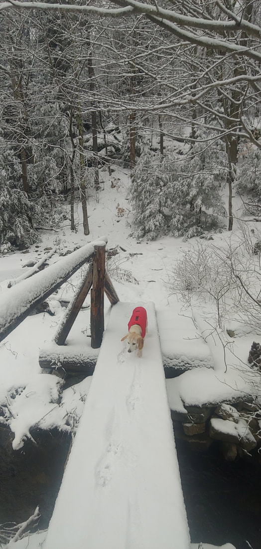
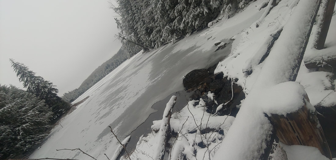
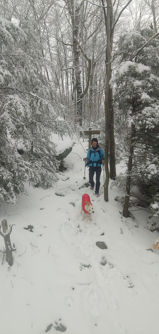
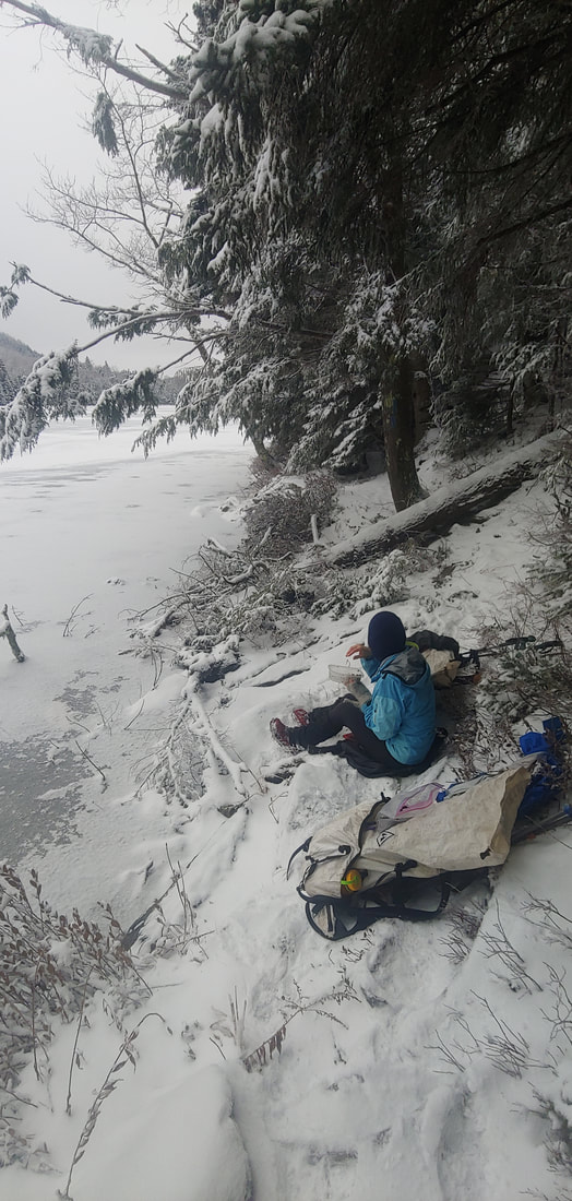
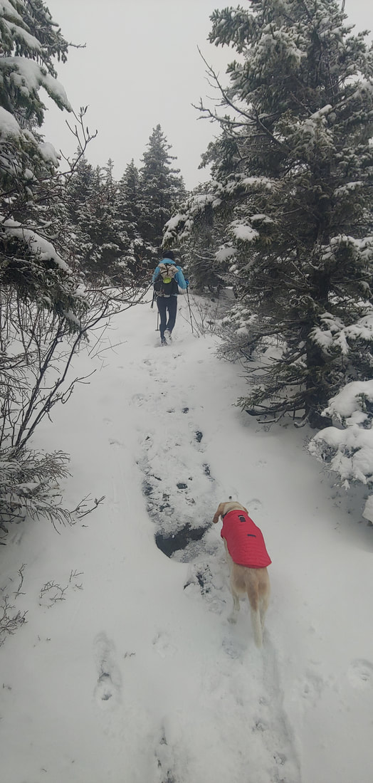
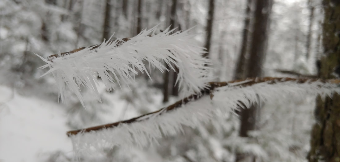
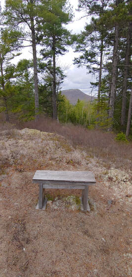
 Ken and Lucy standing over the tiny cairn marking the summit of South Weeks The three peaks of Weeks Mountain, 3,901', 3,885', and 3,684', named in honor of John Wingate Weeks (progenitor of the Migratory Bird Act and the Weeks Act, which enabled the creation of our National Forests), are located in The Kilkenny--the remote, northernmost part of the White Mountain National Forest. The three peaks aren't particularly interesting or unique: they are crowned by common spruce-fir forests and are viewless, generic, settings among so many similar 3,000+ foot summits in the northeast United States. But North Weeks and South Weeks are also members of the New England 100 Highest peaks list, for which there is a winter-season only patch--thus our reason for visiting South Weeks this winter. 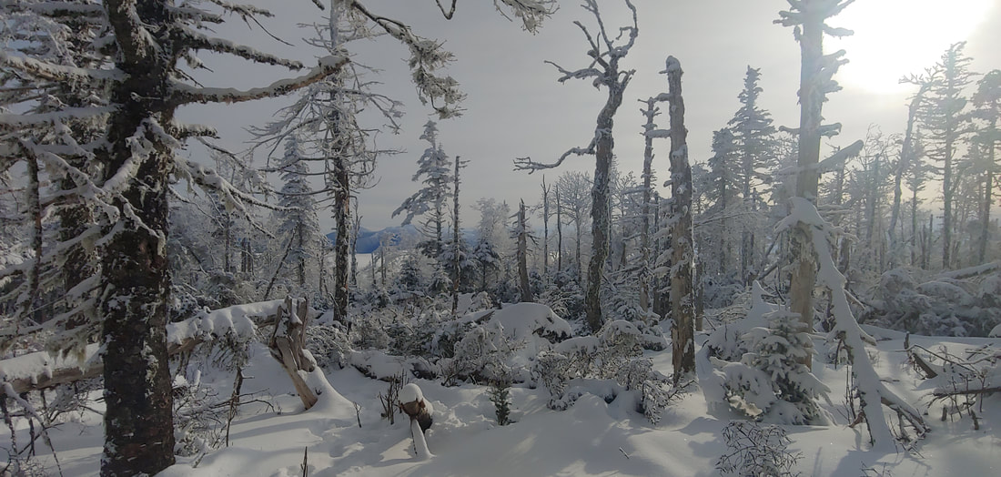 Glimpse of the Presidential Range from the ridge between South Weeks and Waumbek. The easiest way to visit South Weeks is OAB via the Kilkenny Ridge Trail, first passing over higher Mt. Starr King, 3,907', and Mt. Waumbek, 4,006' (52 With A View list and New Hampshire 4,000-Footer list, respectively), 12.2 miles round trip. The only real views on the hike are from Starr King, where there is a small clearing at the former site of a cabin, and from a relatively recent blowdown patch a few hundred feet north of Waumbek summit. Although the route up Starr King and Waumbek is relatively easy and usually well trodden out and maintained, beyond Waumbek things get wooly pretty fast. Because Kilkenny Ridge is infrequently hiked, it is low priority on the trail maintenance schedule. Blazes are fading and infrequent, "fir wave" blowdowns are common, and the fast-growing branches of evergreen saplings and hobblebush threaten to squeeze the trail out of existence. We had about a foot of unbroken powder on the ground, which made it harder to find our way. Thankfully the route sticks mostly to the ridgeline, so getting truly lost is only for the cartographically challenged. Where we did get brief views, we were blessed with an unusual day-long cloud undercast over which the Presidential Range to the south floated like a volcanic island chain. Beyond the simple pleasure of checking a peak off a list, the hike has its charm: on the whole, The Kilkenny has a wonderfully remote aura. It's the kind of place where the forest feels more dominant than the trail and the wildlife are more plentiful than human beings. We crossed at least sixty fresh moose tracks (some of which had re-crossed our snowshoes prints prior to our return) along with countless prints of smaller critters. The moose themselves were typically elusive--large as they are, they do blend and were likely able to see us well enough. The last time I had visited South Weeks was during a Kilkenny Ridge solo backpack in the early 1990s--as far as I can tell, not much has changed out there. Trees fall and grow back, moose make their rounds. The trail is as wooly was it was back then: it was like seeing an old friend who hadn't changed one bit in twenty-five years. --Paul-William Thanks to: White Mountain National Forest (land conservation, trails), Randolph Mountain Club (trails).
0 Comments
There are several ways to approach it: as a diversion during a long distance hike of the Long Trail, as a long loop using part of the Long Trail and Green Mountain Trail, or as an OAB approach starting on the Homer Stone Trail in Wallingford. Since it was winter, we opted for the shorter Homer Stone approach (about 7.0 miles RT, 1950' EG). The Homer Stone Trail ascends to the Long Trail at Little Rock Pond, starting out as a wide woods road and narrowing to a trail halfway up at an unbridged wet crossing of cascading Homer Stone Brook (tricky in winter or high water). From there, the Green Mountain Trail ascends steeply up a series of ledges which give way to some open viewpoints overlooking the pond 600 feet below (we had none on account of socked-in conditions). Had it been summer, we could have combined it with a dip in the pond or brook, or an overnight sleepover to the sound of water lapping stones (there are several primitive campsites on the pond). Although the trail skirts the true summit of the mountain, one can bushwhack 0.2 or so to the top where there is a little register jar tied to a tree, and a secret view ledge. I'll be adding Green Mountain to my rarified "pretty mountains with swimmable alpine ponds-list", among such excellent destinations as Tumbledown Mountain/Tumbledown Pond (ME), Sargent Mountain/Sargent Pond (Acadia National Park, ME), Old Speck Mountain/Speck Pond (ME), and Lonesome Lake/Cannon & Kinsman Mountain (NH). That'll be a topic for a 2022 summer post. Stay tuned. --Paul-William Thanks to: Green Mountain National Forest (land conservation & trails); Green Mountain Club (trails). As usual, I'm busy poking my nose into the woods. Here's a recap of what I found or revisited in Vermont this spring. Happy hiking! --Paul William 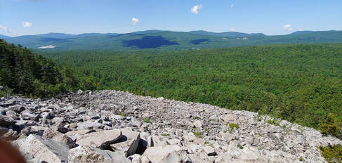 White Rocks talus field Featured Stories: Bushwhacking the Talus: White Rocks Mountain & the Ice Beds PEAK BRIEFS (in no particular order): 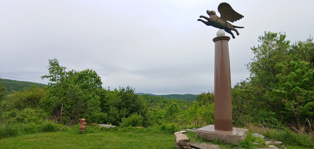 A mountain gone to the dogs. So called “Dog Mountain” and the associated Dog Chapel and Angel Dog Monument (a golden, winged beagle somewhat reminiscent to the cartoon superhero Underdog) with in-house dog art gallery in St. Johnsbury, Vermont are a wonky slice of Vermontarcana. The chapel and trails are dedicated to canine lovers and the views from the hilly fields along the trail system make for a nice jaunt. 2.0RT or longer. 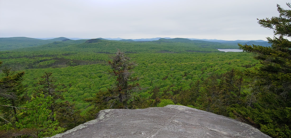 A hill with a little bit of the Devil in it. Devil’s Hill (2,050') is the latest addition to the extensive network of trails on state land in the Northeast Kingdom’s Groton State Forest. The peak likely got its name for hatefully having cliffs on two sides. There’s a sweet view northerly and westerly of the wilderness of the state forest from an open ledge near the summit, and a narrower view southerly down toward Martin Pond. The road to the trailhead out of Peacham, VT is about as narrow as they make them; expect to back up a long way if you bump into an oncoming car. Longer jaunts down to huge Peacham Bog can also be made from this point. 1.7RT
 It's a traditional Scottish name, it doesn't mean you've got tin stuck in your mouth. Tinmouth Mountain, located in the interestingly-named town of the same name, is part of the Taconic Range, the oldest part of the Appalachians. There's a halfway decent view of the Green Mountains and White Rocks from a ledgey area part way up where the trail ends but there are plans to extend the trail system further up the mountain (2,835 summit), perhaps to the other side where the town maintains a community cabin. It's a sweet short and steep hike in its current manifestation, but not something you'd drive hours to visit by itself. If you're in the vicinity of nearby Killington for a Long Trail or NE4K hike and have some spare time to fill, it's worth a jaunt. 2.3RT As usual, I'm busy poking my nose into the woods. Here's a recap of what I found or revisited in Maine this spring. Happy hiking! --Paul William Featured Story: The Camden Hills, #4 in my article Tired of the Snow? This Spring, Hike Where It Ain't. PEAK BRIEFS (in no particular order):  Slabbiest of the slabbies, Bald Mountain (1,261') in Deadham, Maine is located just inland from Acadia National Park. Even the parking lot is located on a bare granite slab, and over 9/10ths of the 0.8mi mile hike to the summit is entirely on a continuous, unbroken sheer slab, making it the most continuously slabby trail in New England. There are some pretty astonishing views along the trail to the south below the summit, and scattered ledges with views reached by the maze of trails at the top. You share the top with a few towers, but won’t feel too distracted by them. 1.6RT
 Hiking the River Link on Boothbay Penninsula: Dodge Point and Mt. Hunger. This trail (5.0 one way) spans the peninsula from the Sheepscott River to the Damariscotta River, passing over the high point of wooded Mt. Hunger (275’) and through beautiful Dodge Point Public Reserved Land. It’s the product of three different land trusts, town conservation commissions, private property owners, and the state of Maine. There are old foundation ruins, old mica mines with pits and tailings piles glinting with minerals, but the highlight is Dodge Point, with an extensive network of trails along alternately rocky and gravelling shore at the tidal Damariscotta River. Bring a picnic lunch and swimsuit, and keep an eye out for whales and seals. 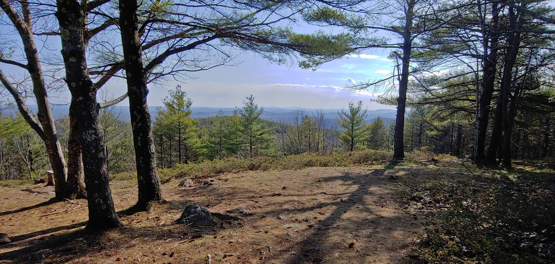 It’s turtles all the way through at Sawyer Mountain. The extensive trail system on Sawyer (1,200') maintained by Frances Small Heritage Trust in Limington and Limerick, is uniquely marked with pieces of wood engraved with the shape of a turtle. There are two trailheads, one to the S off Nason Road (3.0RT), one to the N off Christian Hill Rd (4.8RT). The south trailhead offers boulder fields, the north trailhead offers more loop possibilities and an old cemetery. The good views from a cleared ledge at the summit will stay that way if someone remembers to give the trees a new haircut. 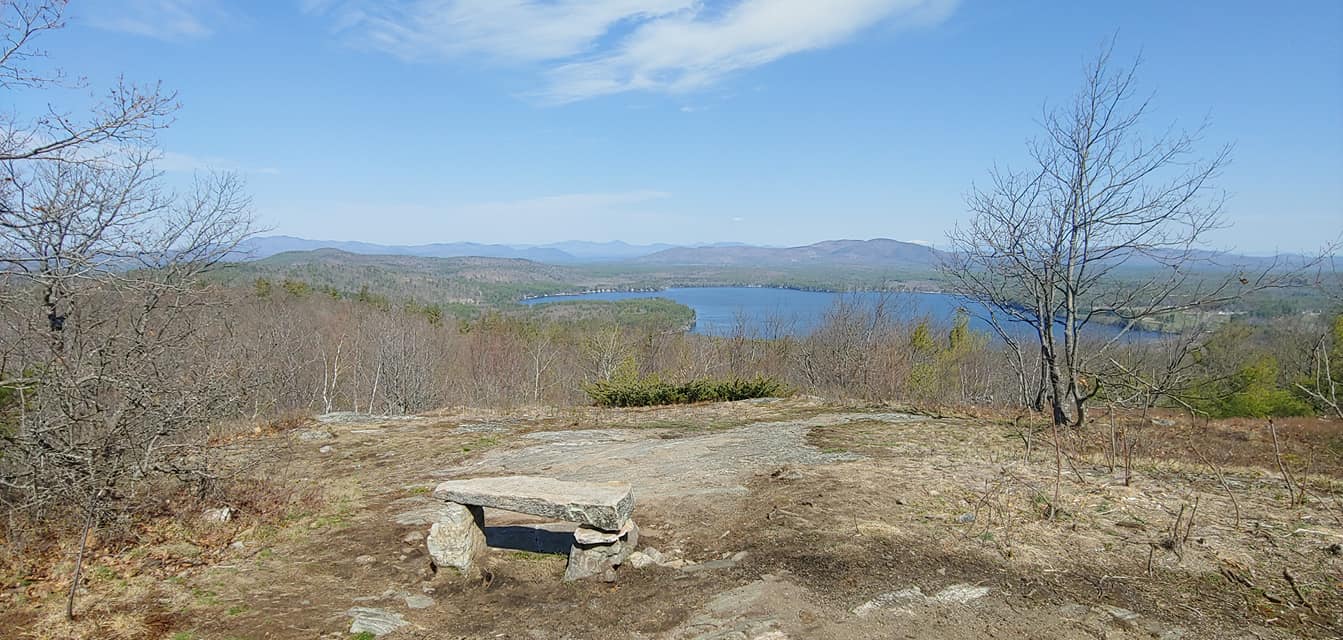 Stepping over the line at Province Mountain (1,176'). Trailhead is in Wakefield, NH, summit is in Newfield, ME. The marked but private trail, located at a private campground, ends at a open summit with fine views toward the White Mountains and Province Lake. If you go, park on Route 153 where parking is allowed, and respect the campground residents. 2mi RT. 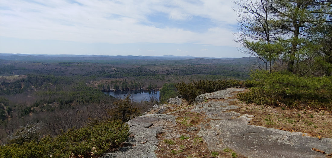 One sweet old ledge. Randall Mountain (1,100') in Parsonfield presents a dignified open ledge looking southward. The ledges were formerly sheep pasture as evidence by the remnant red cedar and juniper. An unmaintained and partly overgrown jeep track ascends from the west. The land isn't posted--work to keep it open by treating it with respect. 2.4RT. 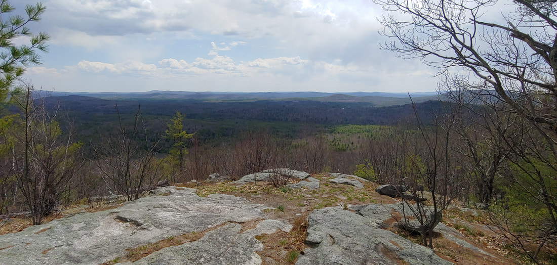 Cedarless Cedar Mountain (1,220'). Ironically, Cedar Mountain has no cedar trees, apparently having given them to nearby Randall Mountain also in Parsonfield. Cedar at one point hosted a fire tower; nothing of it remains but the views from a ledge just below the summit are still fine (the true summit is off trail about 0.1 and wooded). I had no intel on this peak but easily found the old fire wardens road, still being used by ATVs, from the northwest at Merry Hill Rd (where there are some fun old cemeteries and ruins). The road is a bit beat up but the view is worth the hike. The land isn't posted--please keep it that way by respecting it. 2.8RT. 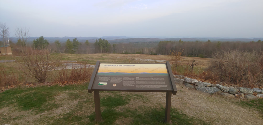 Hackers and Quakers, all the same. Hacker’s Hill (753’), formerly known as Quaker Hill, previously owned by Quakers, now owned by Loon Echo Land Trust, is a fine bald granite dome located in Casco. There’s a paved road to the top where there are interpretive signs and religious icons. The views are sweeping. Real hikers will want to park along the road and walk up the short 0.2 to the top. 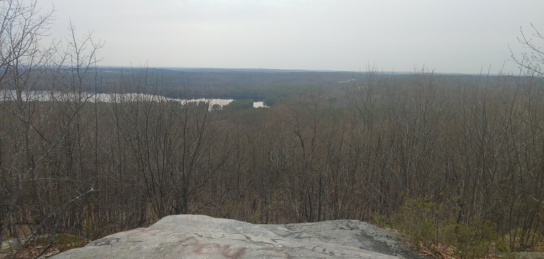 We regret to inform you that the cat was replaced with beer. Black Cat Mountain (879') in Poland and Raymond is accessed by both a cell tower service road (from the SE) and a separate snowmobile trail (from the NE). The summit has been taken over by communications towers but there's a good open ledge just below it that is trying to retain its dignity. Someone with a poor sense of geography placed a sign there christening it "Beer Hill." I found no beer or cats. I recommend the trail, not the road, but neither are inspiring routes. 2.0RT 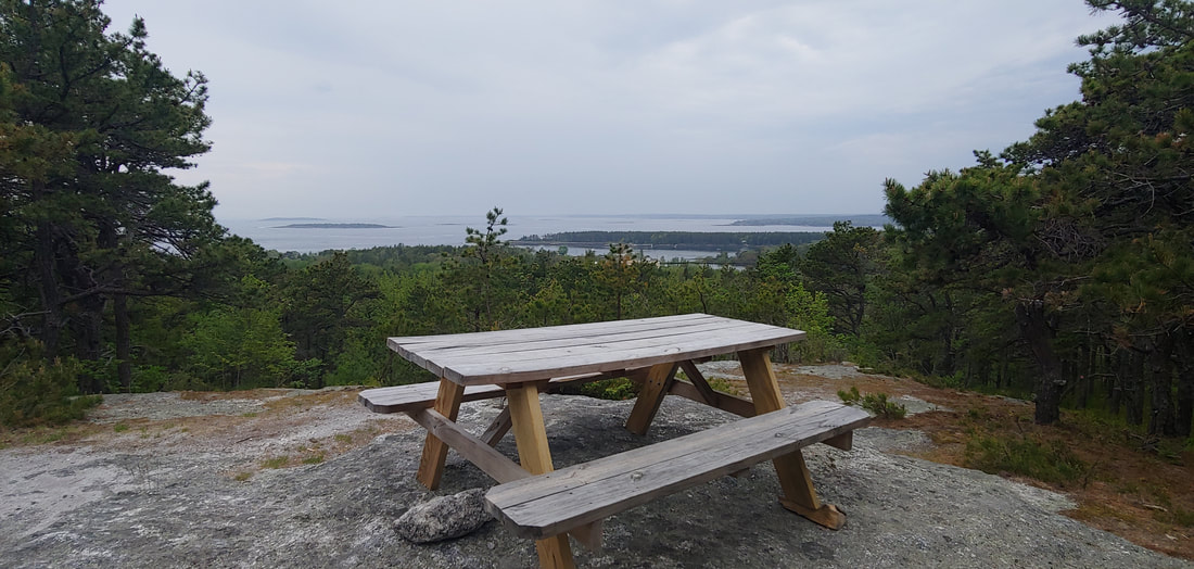 Two for one: Robinson Rock (a.ka. Bumper Rock) and Merritt Mountain. These two seaside crags are located in the resort of Sebasco in Phippsburg, ME, on a private trail system. The trails are not posted against public access and can be got to from Sebasco Road 0.7mi from Route 216 where there are small signs and parking pullouts. The trails, well marked and color coded, are visible in OSM and the hikes are listed in AllTrails.com. Both crags offer good views out over Casco Bay. Merritt can be got to via a nice 2.2mi loop. Robinson is a 1.1mi loop. Be a respectful guest if you go; don't go exploring on the trails that lead into the developed part of the resort. 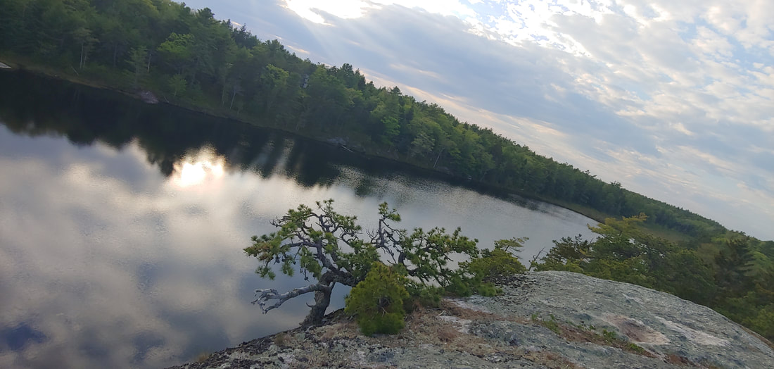 Get your prehistoric fix at Dinosaur Rocks. The rocks are part of a linear series of cleft crags stretching several miles and contained within land owned by the Town of Phippsburg, Phippsburg Land Trust, and Bates College. There are trailheads on ME Route 209 and at the Bates College research station off Route 209 (0.35 miles from ME 216). The trails wind over and beneath the ledges in Tokienesque fashion. Last time I was here I approached from the northwest trailhead; this time I did it from the Bates College trailhead and found it superior because it included the attractive Meetinghouse Pond with barren ledges above. There isn’t much in the way of views from the upper crags but the maze-like rock formations are really fun to explore. If you park at Bates, be respectful of the parking needs of the college. RT to the rocks from Bates is about 3.5mi but longer hikes are possible. 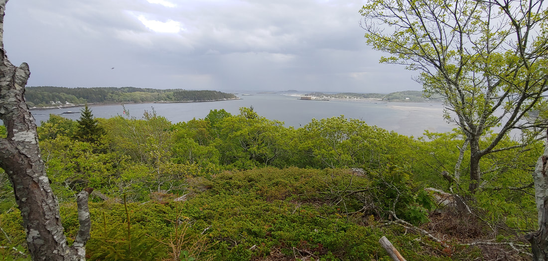 Cox Head (I’ll leave humor to the imagination) is a rocky knoll in Phippsburg, ME overlooking Fort Popham and Popham Beach (IMO, the best sand beach in Maine) from northerly along Atkins Bay at the mouth of the Kennebec River. The loop hike ascends to a fine and surprisingly impressive 100 foot seaside ledge. The land is conserved by Phippsburg Land Trust and located on Green Point Road. 1.0mi RT 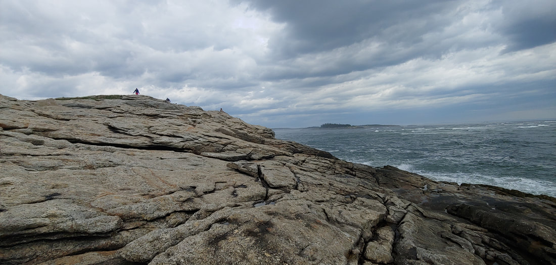 Fox Island at Popham Beach: Walk or swim back to your car, your choice. This one was a bucket list hike for me but I never seemed to time it right. Fox Island, a very cool wave-beaten rocky crag at the mouth of the Kennebec River, can only be got to from Popham Beach State Park in Phippsburg at low tide. Popham Beach is one of the finest in Maine, with a decidedly end-of-the-earth feel to it. Also nearby are historic ruins of Fort Popham and Fort Baldwin, to the west, Morse Mountain in the Bates-Morse Mountain Conservation Area (with the other, even more remote half of Popham Beach--separated from the State Park by the Morse River) and Cox Head to the north (described previously in this post). 1.2RT. 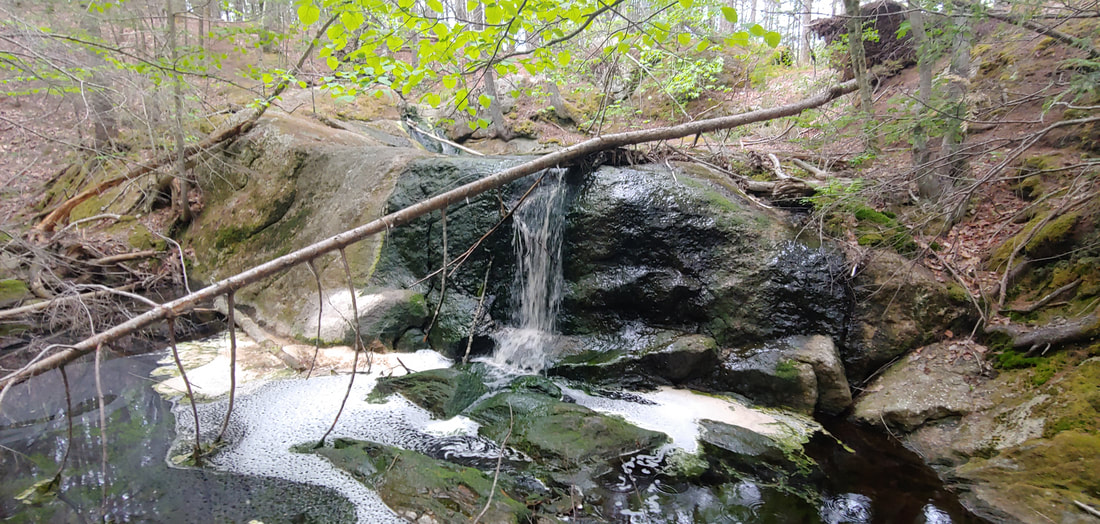 Freaky Skull Falls, Pretty Sprague Pond, and Piney Burnt Ridge. Burnt Ridge, covered with moss, lichen, and pine barrens but lacking views, makes for some fun wooded ledge hiking but the real gems here are the lovely, secluded tarn and swimming hole of Sprague Pond, and weirdly named Skull Falls. There are also some old mica mines in the same trail system to the west on Fuller Mountain which also sports a cleared view to the east. The land is within TNC's huge Basin Preserve and Phippsburg Land Trust's Sprague Pond Preserve. An extensive trail system offers lengthy hikes. For this approach I used the trailhead off Route 209, closest to Sprague Pond but you can reach the system from Meadow Road and Basin Road as well. 4.6RT, with longer options.
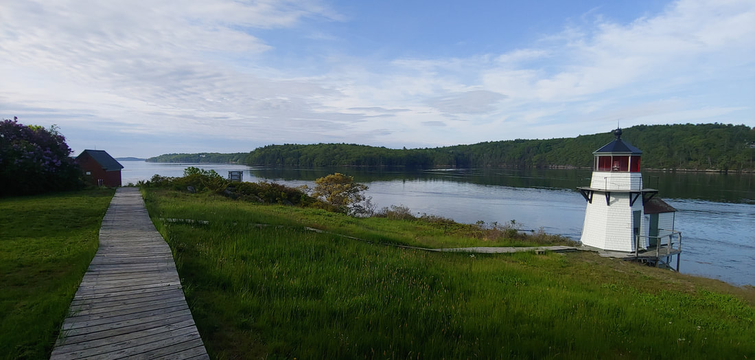
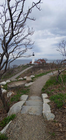
Off on a tangent: Bald Head and Squirrel Point Lighthouse. These two worthy destinations in Arrowsic, ME on the tidal Kennebec River can be got to from a trail system at the end of long dirt Bald Head Road. Bald Head (4.0RT), an open, rocky crag overlooking Back River Bay, and the pretty but tiny Squirrel Point Lighthouse (1.25RT; there aren’t many lighthouses in Maine that are got to exclusively by trail) make are a fine combination hike from the same trailhead. Along the way there are many sweet views of salt marshes and rocky shores. The land is conserved by the State of Maine, the Coast Guard, and The Nature Conservancy.
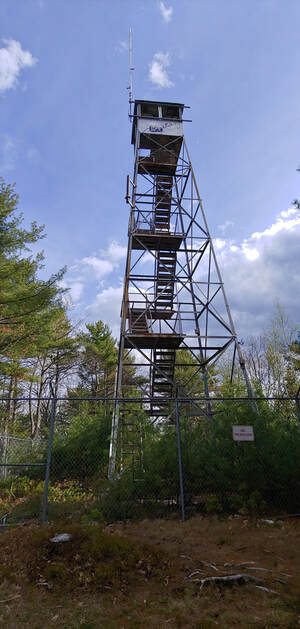
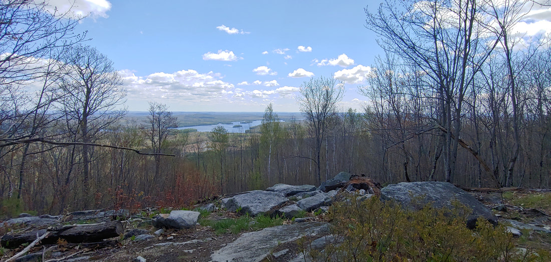 McGaffey Mountain is not quite a gaff, but almost. I’d hiked the rest of the peaks in the awesome Kennebec Highlands conservation area and was saving McGaffey (1,288) for last because I knew that the trails to the summit were designed for mountain biking and had a lot of switchbacks. I trimmed down some of the switchbacks with bushwhacks but the hike was still too long for the good but narrow view below the true summit of the mountain (the true summit is a wooded ledge with a cairn). 9.6RT; less if you creatively chop off a few switchbacks. 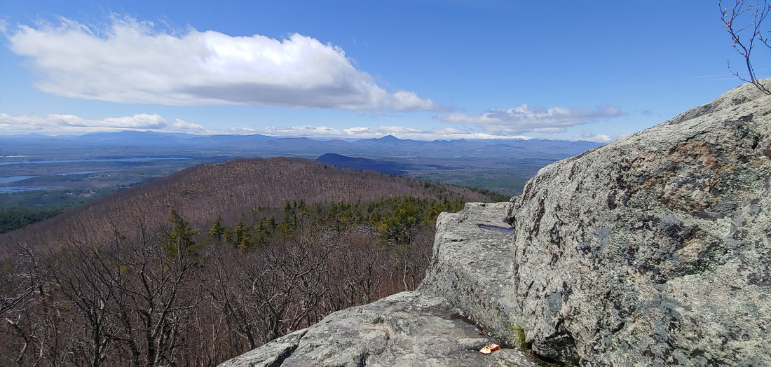 Who says you can’t be both pleasant and rugged. It’s strange to me that many dedicated NH hikers are so often unaware of peaks located just spitting distance over the ME border: that’s the case with regard to Pleasant Mountain (2,006') in Denmark, Maine. That said, there’s no shortage of locals and Maine hikers on Pleasant Mountain, which offers extensive open ledges and excellent low-elevation ridge walking. For this trip in early May, we hiked up the Southwest Ridge Trail OAB to summit then to the crags above Shawnee Peak ski area (8.4 RT). The shorter ascents from the Ledges Trail and Bald Peak Trail are also good but the old Fire Tower Trail is a bland woods road. The firetower at the summit is a bit redundant given the wide open ledges, but only if you don't love those old things like I do. Get to the trailheads early to avoid the rush.
|
TOPICS
All
Humor (The Parsnip)

|


 RSS Feed