|
As usual, I'm busy poking my nose into the woods. Here's a recap of what I found or revisited this spring. Happy hiking! --Paul William FEATURE STORIES: PEAK BRIEFS (in no particular order): 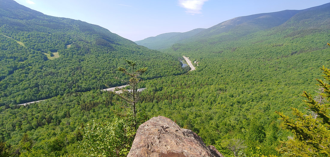 Those punny AMC People: Liebskind's Loop, George's Gorge, Brad's Bluff, Lila's Ledge. If you're looking for a short & sweet leg stretcher in the vicinity of Pinkham Notch the day before or the day after you beat the crap out of yourself hiking the Presidentials or Carter-Moriah-Wildcat peaks, and you happen to also like puns, this is your hike. There are fine views of the Notch from this crag along with a narrow gorge with a cascade. The punny trails are named for old AMC luminaries. 2.5RT from the AMC center; WMG 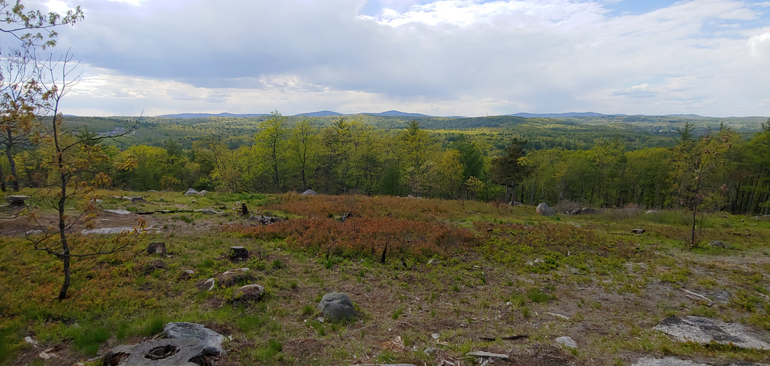 Burns Hill is in fact burnt. This fine small peak (751') located in Hitchiner Town Forest in Milford, NH was new to the 2021 5th edition of the Southern New Hampshire Hiking Guide. There’s a great view ledge at the top looking toward the Wapack Range; the area around the ledge shows the scars of a recent fire. Other features include stone walls, scrambly ledges, and meadows. 1.5RT; longer hikes are possible. SNHHG 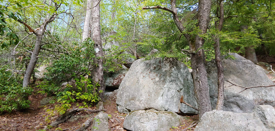 The badgers have been at it at Badger Hill. Badger Hill within Mile Slip Town Forest (Milford, NH), once had a nice view from its summit (781') before it grew in. The trails fell into disrepair and it hasn’t helped that there is an ATV accessible trail to the summit with associated partying and debris left behind. However, the hill does offer some really interesting boulders and rock formations, and an attractive trail along lovely Mitchell Brook at the foot of the mountain. There was some evidence of new trail building when I visited in May of 2021, but as of yet none of it is marked and it’s unclear if all the construction is official or bootleg. 2.2RT including brook.
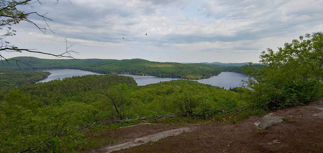 Good golly Mount Molly. The trail system on Mt. Molly (1,250) in New Durham, NH is under development by Southeast Land Trust but in the mean time you can pick up the older, unrefined trails to the summit from either Merrymeeting Road or unmaintained Chelsey/ Devil's Den Road (see my description of this road under Devil’s Den, above). There are no signs but the route is easy to follow, if a bit eroded from latter approach. GPS tracks of trails on the mountain are in OSM and are readily accessible via most GPS apps. There is a truly fine open ledge on the summit with 180 degree views east and north. 2.6RT with road walk. 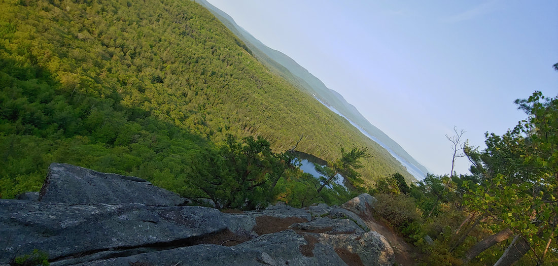 Knight’s Pond and that big unmentioned cliff. Knight’s Pond (Lakes Region Conservation Trust) in Alton, NH appears in successive editions of the Southern New Hampshire Hiking Guide but there is no mention of Long Stack Mountain Precipice (1,200) which looms above the pond and is also within conserved land. An enjoyable, rugged marked loop trail circles the scenic pond and is probably best enjoyed when mosquitos are not in season. Getting up to the precipice requires some good bushwhacking skills: an old cart path, severely eroded, ascends the mountain from a gravel pit a bit further east along Rines Road from the Knight’s Pond trailhead. The cart path climbs past the wooded summit (off trail, private, and hosting a McMansion) to the north side of the mountain where bare ledges offer narrow but interesting views north toward Winnipesaukee. A vague herd path leaves westerly right at the start of these ledges and finds the edge of the cliff where there are airy views down at Knight’s Pond, Winnipesaukee, and beyond. 2.4RT precipice. 2.5RT pond circuit, SNHHG. 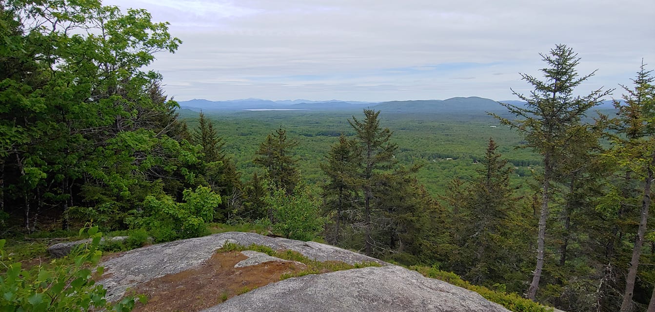 Not that Whiteface Mountain. . .no, not that one either. . . There are several mountains in the northeast by this name (one NH4K peak, one ADK 46er, one in the Belknap Range. . .) and the name itself is a good indication that there’s a big ledge involved. This one, in Wolfeboro NH (1,339), was just included in the newest edition of the Southern New Hampshire Hiking Guide. A new trail leads to the top of a fine northeast facing ledge. 2.9RT, SNHHG 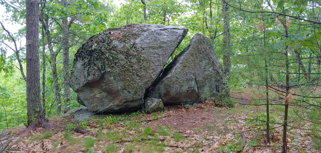 Fogg Hill is a good place to look at trees or maybe fog. Another inclusion in the most recent edition of the SNHHG, Fogg Hill (980', Lakes Region Conservation Trust) in Center Harbor, NH in doesn’t really have much in the way of views but the rocky and mossy ledges are pleasant, and there is an interesting split boulder at the summit that looks like the fossilized head of a kaiju. Bear Pond, on a spur trail, is worth a look.
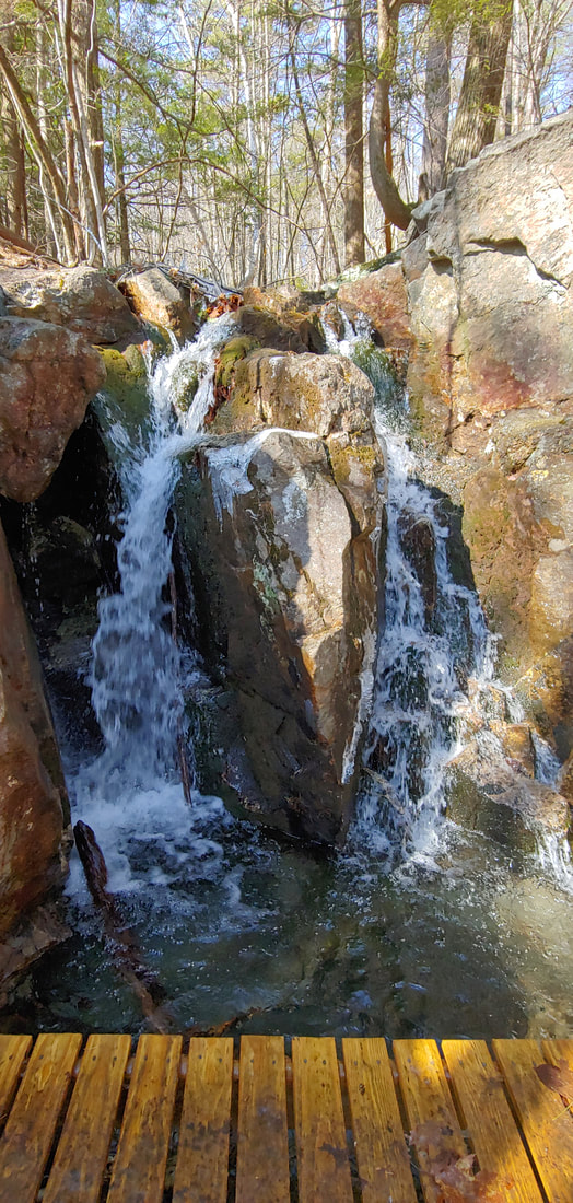
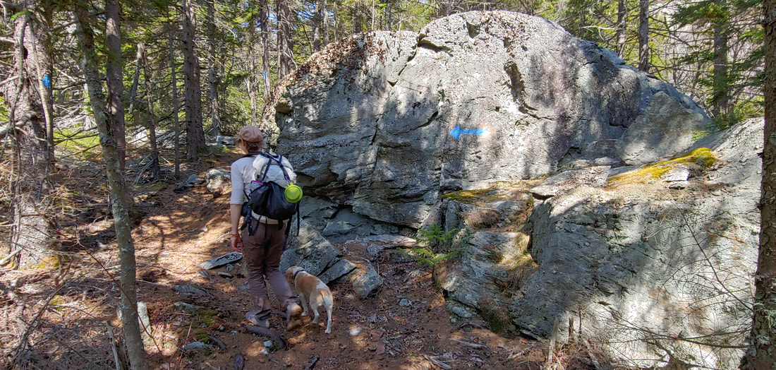
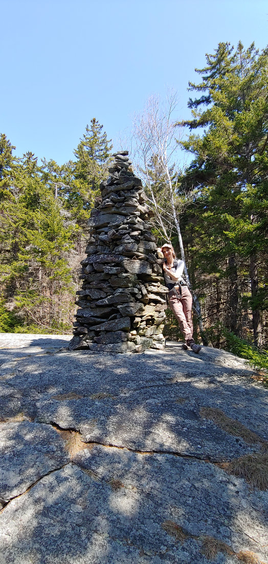
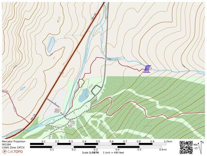 Maybe revisiting Thompson Falls. I wasn’t sure if I’d been to this waterfall before, which is located at the end of a short trail starting at the Wildcat Ski Area parking lot, so I took the hike. The falls (my photo sucked, so no image for you) were about 15’ high with ample water flow and a nice swimming hole below. Some knucklehead had scattered a box of powdered laundry detergent over the rocks below the falls. What is wrong with people. 1.2RT, WMG 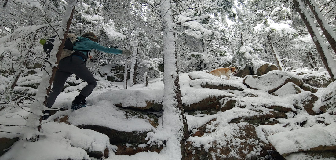 Spring Snow in the Belknaps. The Belknaps are always a great place to nice, with their multiple open and craggy summits and lenghty trail network with many trailheads and loops. This time it was the first day of spring and I wanted to be done with the snow for the season, but we got blanketed the night before. I didn't mind: temperatures were mild and the light, fluffy spring snow was pleasant (if slippery) walking. We hiked a good loop over the Quarry and Straightback summits from the northwest (Reed Road trailhead) , and OAB to Mt. Major where the weather discouraged the usual summit crowds. The beagle approved. 9.0RT for this particular hike; SNHHG 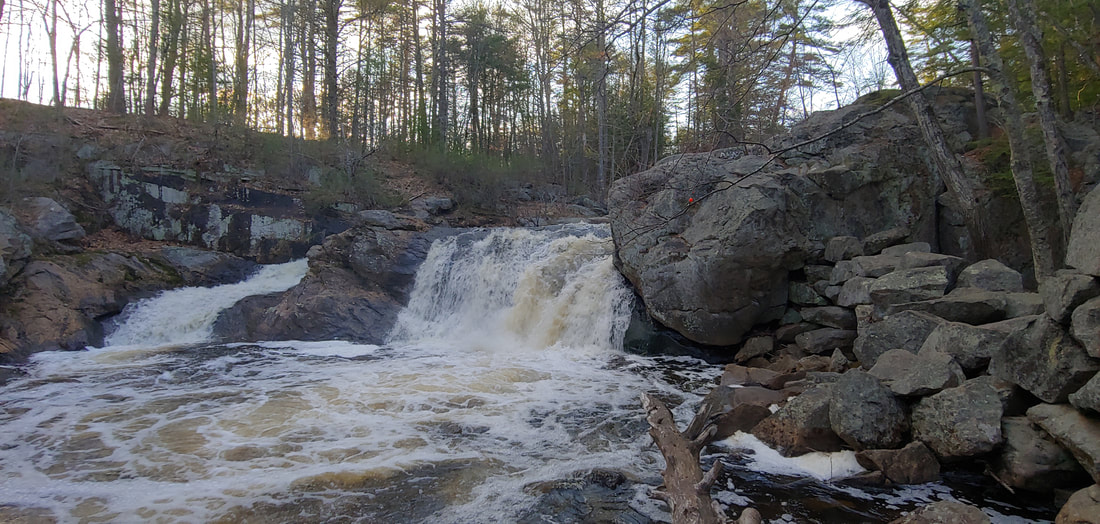 Isinglass Falls: What a dump. Isinglass Falls is located within the Gonic Trails in Rochester, NH on the Isinglass River. The falls and the woods around the trail system were conserved by the Turnkey Landfill/ WMNH to smooth over local sentiment when they applied to expand their monster landfill a short distance to the north. The conservation area is well sheltered from the offensive dump itself--the only sign you'll notice of it is the distant cry of trash-raiding seagulls. Approach the trailhead from the south, not the north, if you don't want to see the landfill. The falls are lovely; as you view them maybe contemplate giving up paper plates and plastic cups for lent. 1.5RT 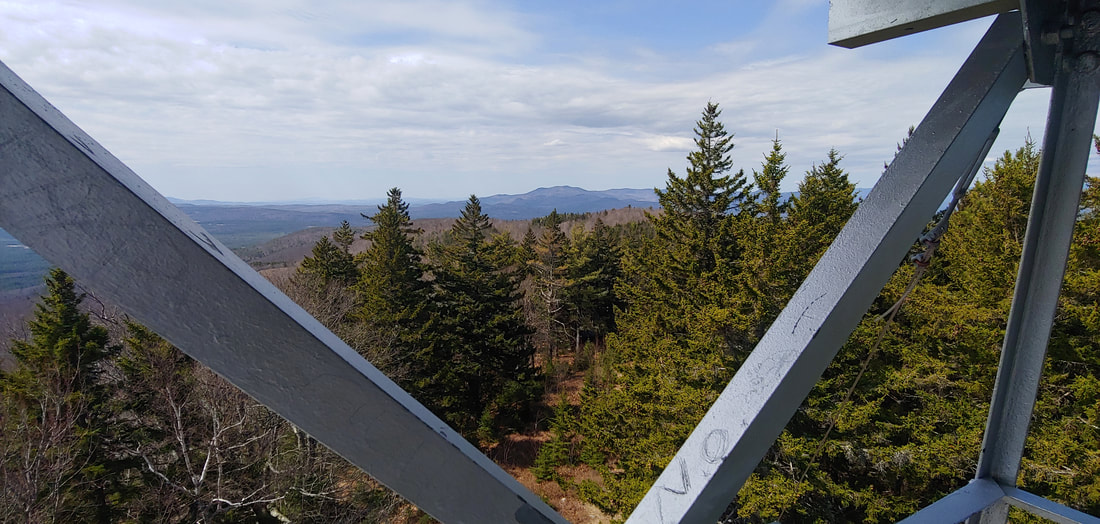 Green Mountain. . .but aren't they all? The trails and firetower on Effingham's Green Mountain (1,883) have been around for quite a while and are part of the Forest Society's High Watch Preserve. Although trees have grown high enough to shrink the former 360-degree view from the tower, the gawking is still quite good. There are three trails to the summit; take either the Dearborn Trail or HIgh Watch Trail; the Libby Trail is an old access road and is less pleasant. The summit can be reached in 1.5 miles. The little spur trail to the sub-peak of Hanson Top, with fine views E, can be added in with just a little more effort. SNHHG. 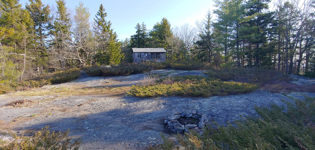 The Moody Mountain Cabin is located on adjacent private property--please respect it. Be gentle with Moody Mountain. This small mountain (1,419) with a decent view from summit ledges (an easy 0.9 to the top) is within the Forest Society's Moody Mountain Forest in Wolfeboro, NH. The dilapidated cabin (on adjacent private land) sees its fair share of abusive behavior, so maybe appreciate its rustic Taj Mahal glory without entering. 1.5RT 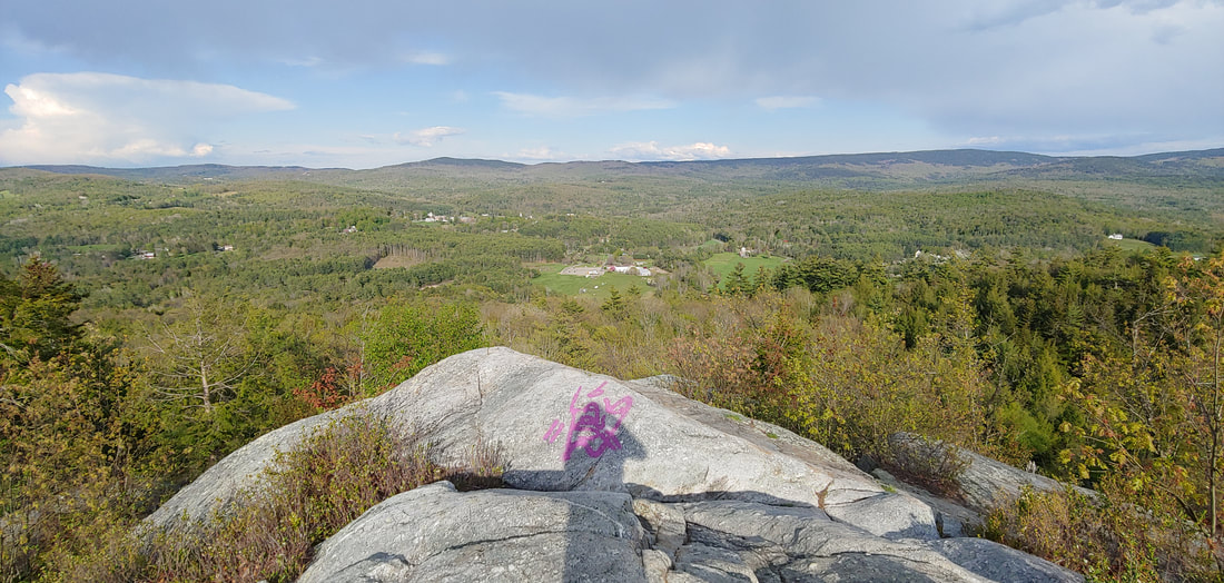 Visitez les corniches de French maintenant! Pardon my French, but yes, you should visit this surprising little crag (1,360ft) with 360-degree views in the Upper Valley town of Plainfield, NH as soon as possible. The Upper Valley Land Trust and a generous private landowner are responsible for this gem. 3.5RT; longer loops are possible. 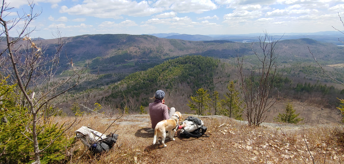 Off the not-so-unbeaten path on Prospect Mountain in Holderness, NH (2,064). You won’t find it in any guidebooks, but it’s there: a well beaten trail system to this fine clifftop view looking east over the Lakes Region. Look for it on Alltrails.com. There are two nice main loops, one which passes through an attractive evergreen forest, one through a partially logged deciduous forest. Choose your adventure. 3.8RT; longer loops are possible. 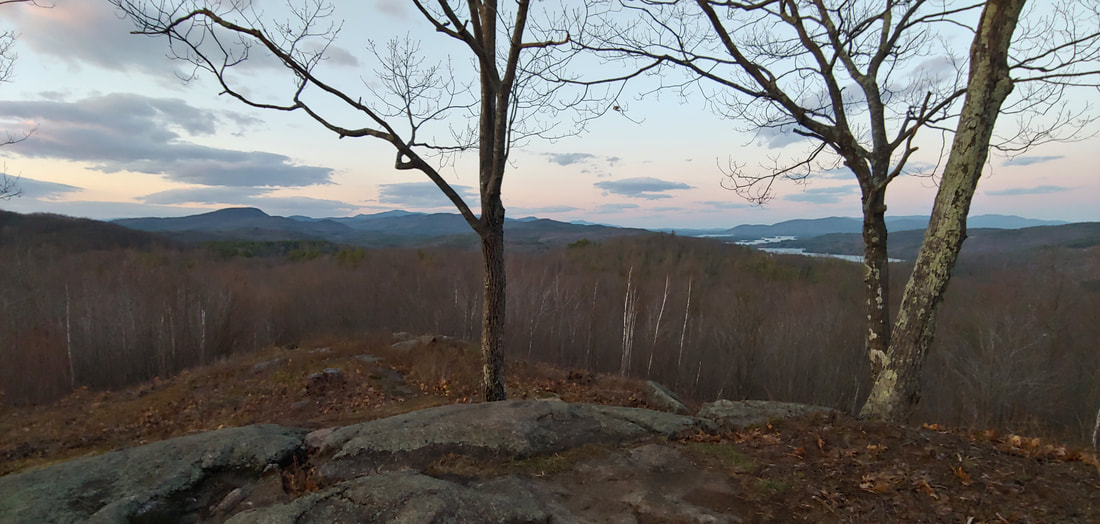 There once was a man named Whitten, whose hill on which you are now sittin’. Seriously, this new addition to the Southern New Hampshire HIking Guide, Whitten Woods, is a sweetheart of a hike, with sweeping views from the twin peaks of Church Hill (1,136, 1,173), a southerly extension of the Squam Range in Ashland, NH. The forest preserve is managed cooperatively by three land trusts. It was heavily harvested of timber before it was acquired but the young trees are springing back, the views of Squam Lake are awesome, and the trails are well conceived. Look for additional new trails here in the future. 3.1RT, SNHHG 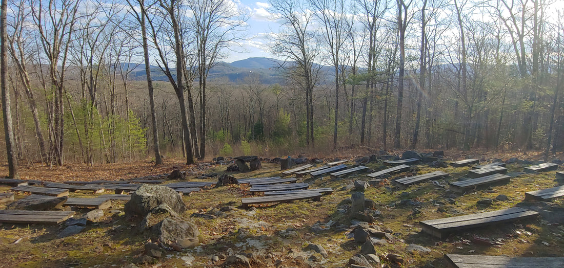 You can ski it, hike it, and pray it. The Holderness School’s “Ski Hill”, located right in the NH town with the same name, has a great network of trails used locally for skiing, hiking, and mountain biking. There’s a few decent slot views from vantage points on the hill, including one from the outdoor chapel. All kneel. 3.3RT; shorter and longer hikes possible. 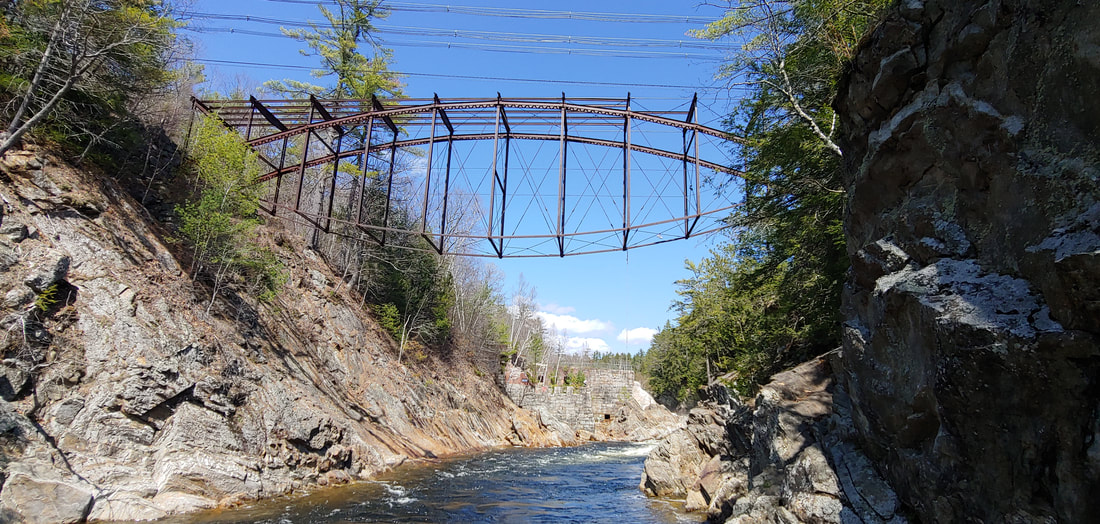 It’s a Pumpkinseed! No wait, it’s a bridge. . . Livermore Falls, now part of Livermore Falls State Park in Campton, NH, was once a booming mill site. The falls and an impressive gorge on the Pemigiwassett River, along with the flood-scoured ruins of the mill and the unusual “pumpkinseed” bridge remains, make this a fun and interesting short walk. It’s also a fantastic swimming hole in the summer if you can find a place to park. The state charges a fee in season. 0.4RT with some poking around. 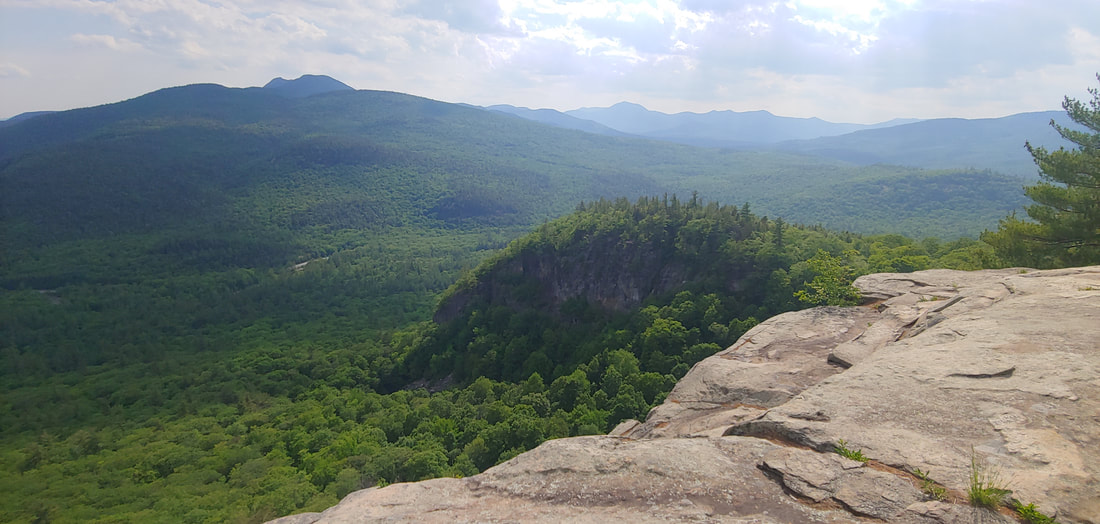 It ain’t just about the boulders at the Boulder Loop Trail. Located off the Kancamagus Highway in NH, the Boulder Loop promises boulders but neglects to mention the massive clifftop vista above—one of the finest of many in the area, comparable or better than the nearby ledges of Hedgehog and Potash Mountain. A nice loop winds its way through the boulder fields and over the ledges. 2.7RT, WMG 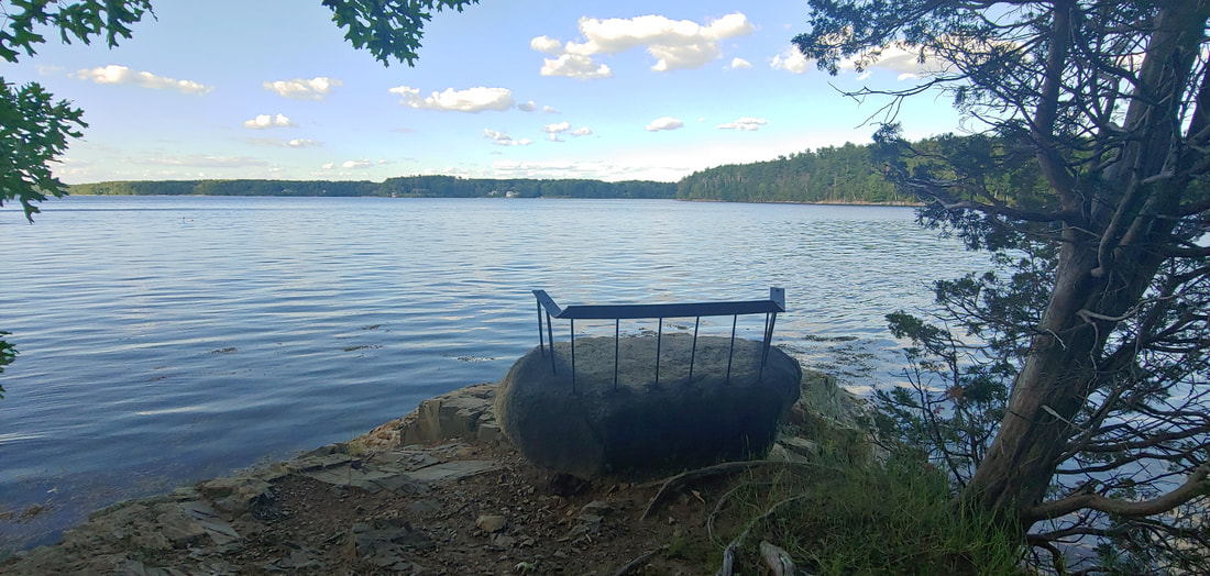 Best seat in the house. If you’re looking for good seaside (or in this case bracken bay) hiking in New Hampshire, Adams Point, a craggy escarpment on Great Bay in Durham is one of the prettiest spots around. Parking is tight, so aim for weekdays and off hours. A trail winds around the crag and interior meadows, with many rocky outlooks and spurs down to the water. The point is a state wildlife management area. Keep an eye out for horseshoe crabs. 1.5RT 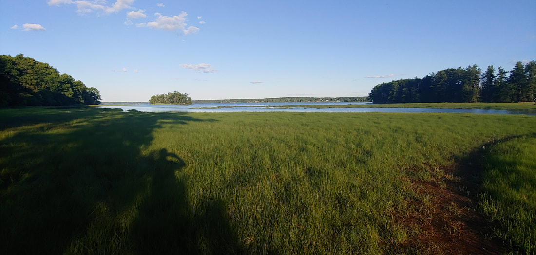 Second best seat in the house. If you’re going to visit Adams Point (previous entry), you might as well pick up the tail end of the Sweet Trail in Newmarket NH. You can hike up tiny but steep Jefts Hill and continue north for several miles, but the sweet spot is the saltmarsh overlook at the end of the trail. Mosquitos in the summer will carry your ass away, but the view’s worth a pint or two. 1.0RT hill & marsh; the entire Sweet Trail is about 4.0 one way. SNHHG. 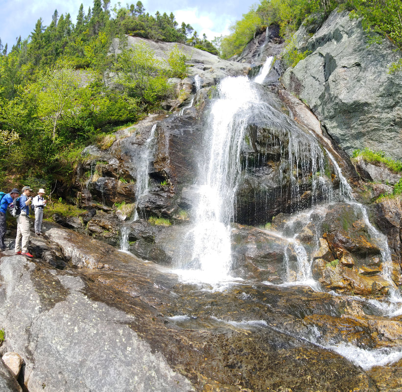 I’d tell you where this is, but I’d have to kill you. Sorry, there are some secrets you just have to find on your own 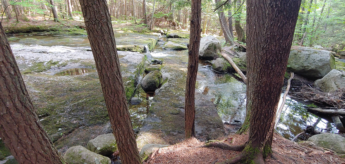 The Boulder is bolder but the Cascades are cooler. If you’re in the mind to visit the largest rock in the state of New Hampshire, Madison Boulder (plunked down by the glacier in the town of the same name, how thoughtful of it) you ought to also check out Madison Cascades, which can be got to from behind the Madison Historical Society Building via a marked trail. Nice spot to cool off on a hot day. 1.5RT 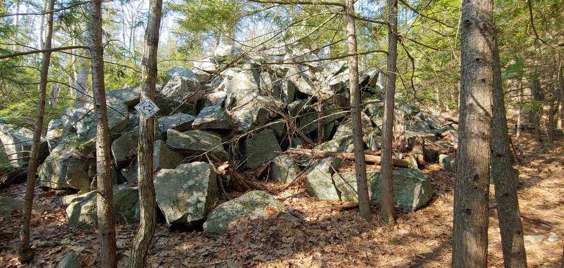 All tapped out at Patch Hill and Mayflower Hill. These two rocky hills located in Amherst and Milford, NH, are pleasantly ledgey and scattered with fun historic mementos of an old, tapped out granite quarry. There are rock piles, pieces of machinery, quarry pits, cut blocks, old foundations, and a spare view here and there. The two hills are connected by a trail system. 4.4OAB to both.
0 Comments
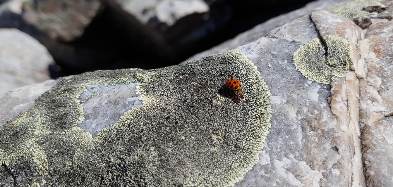
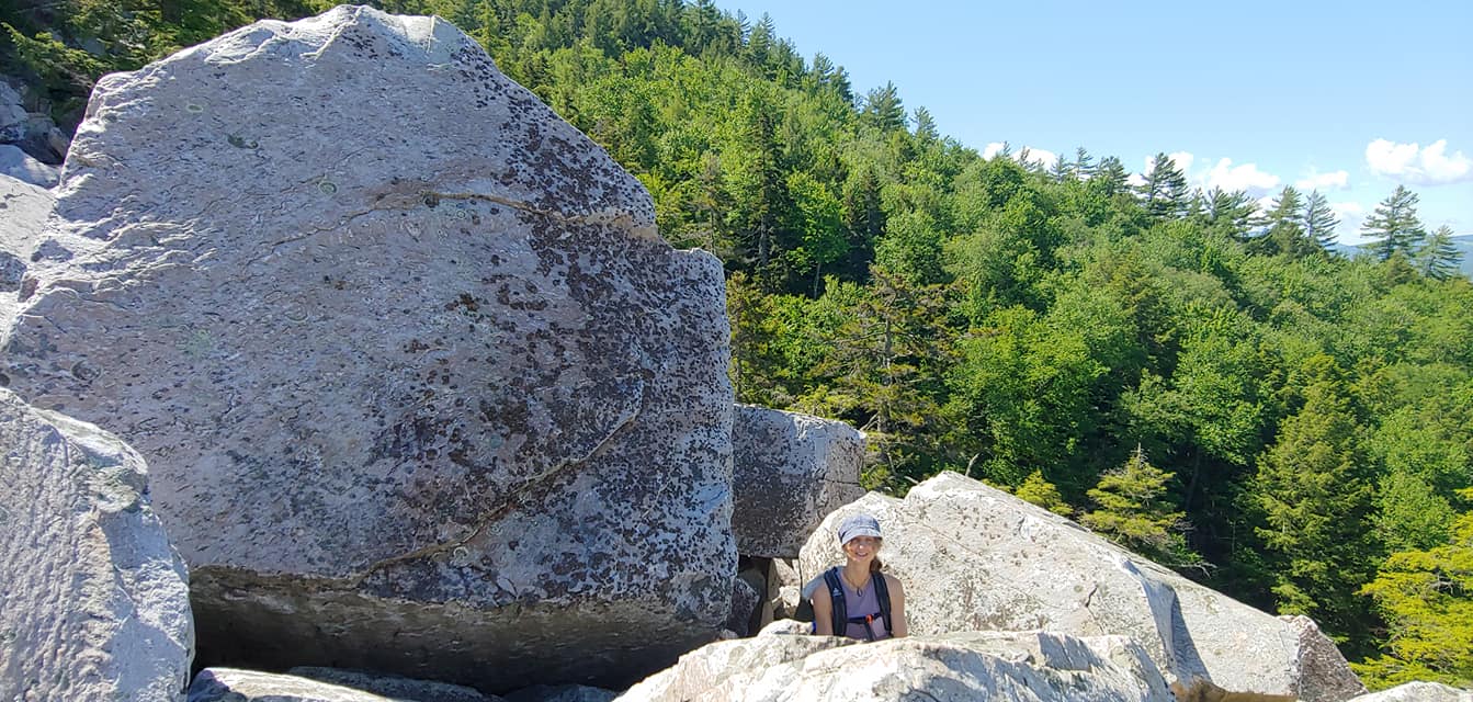
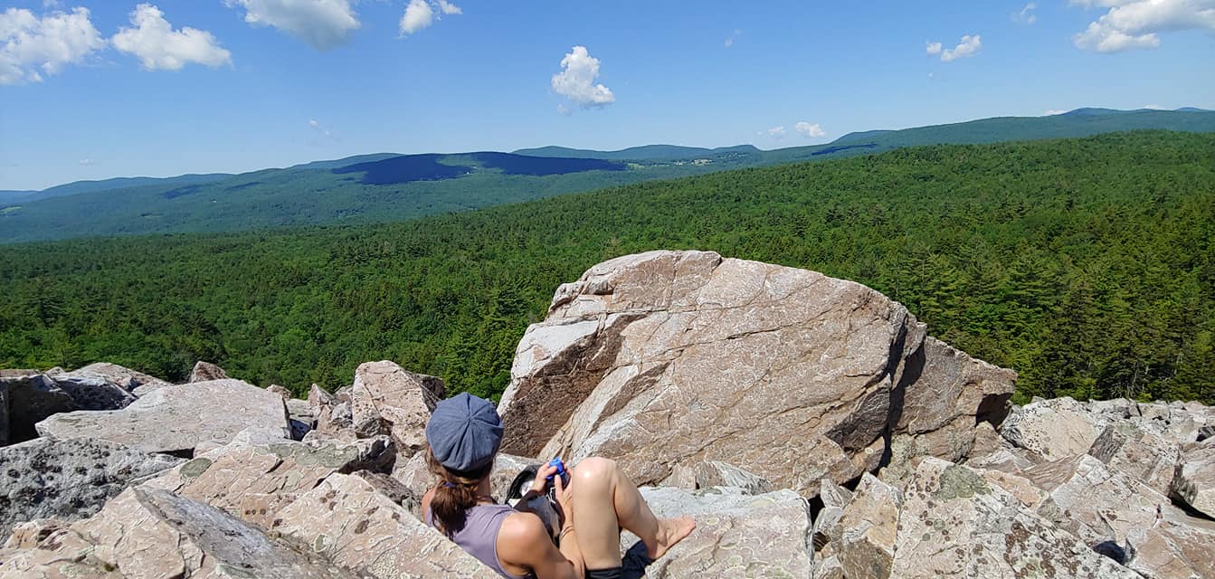
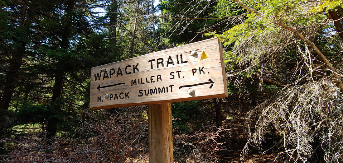
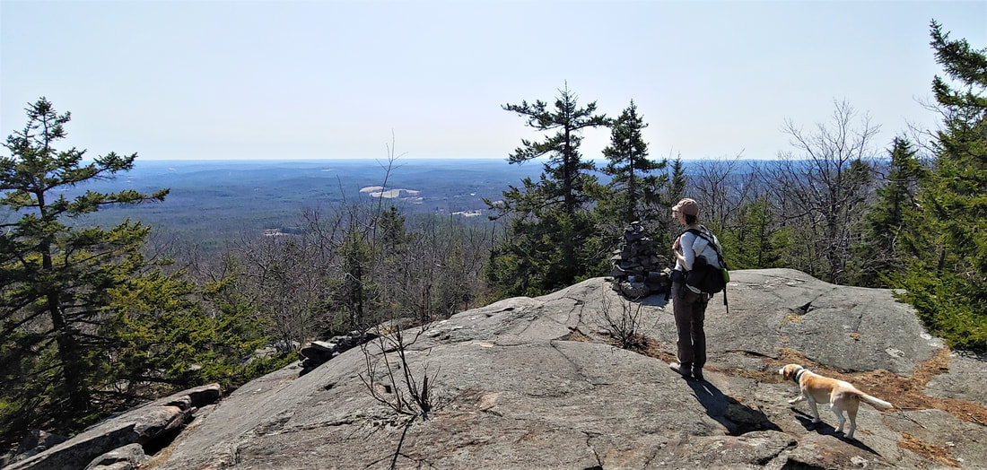
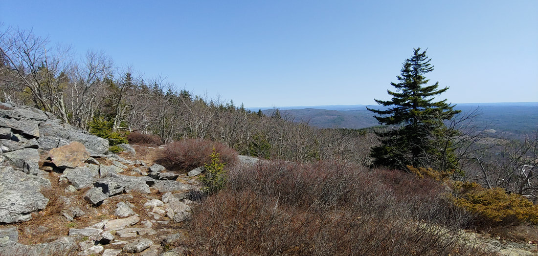
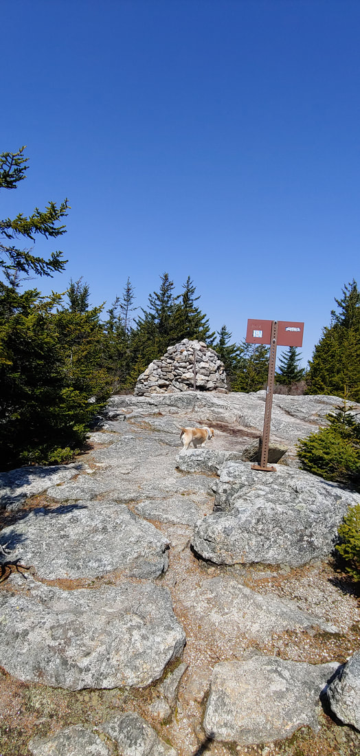
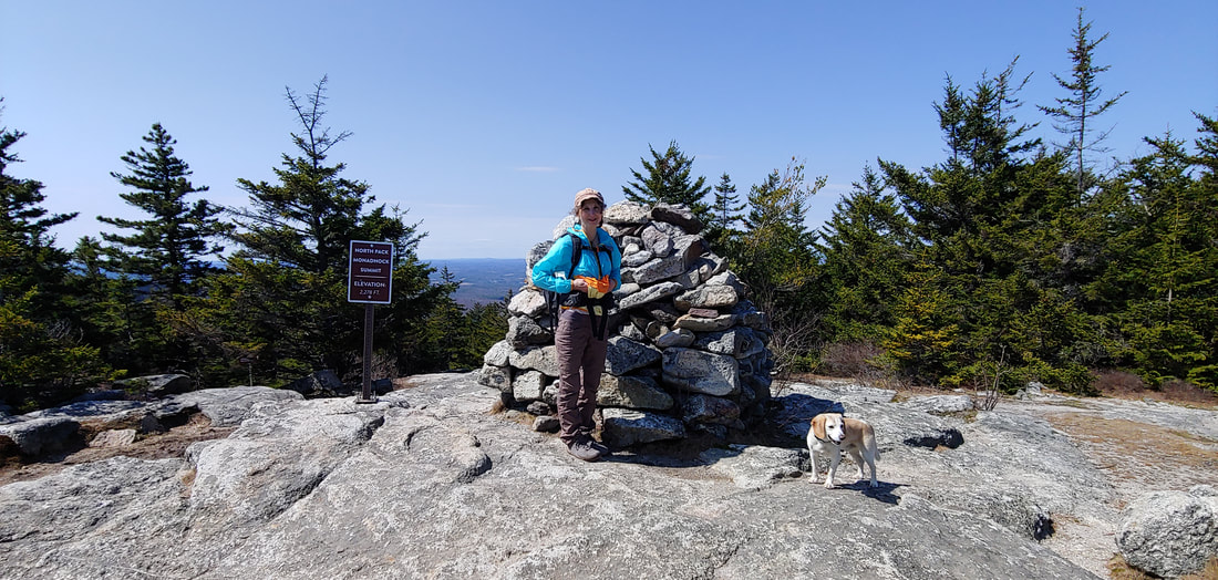
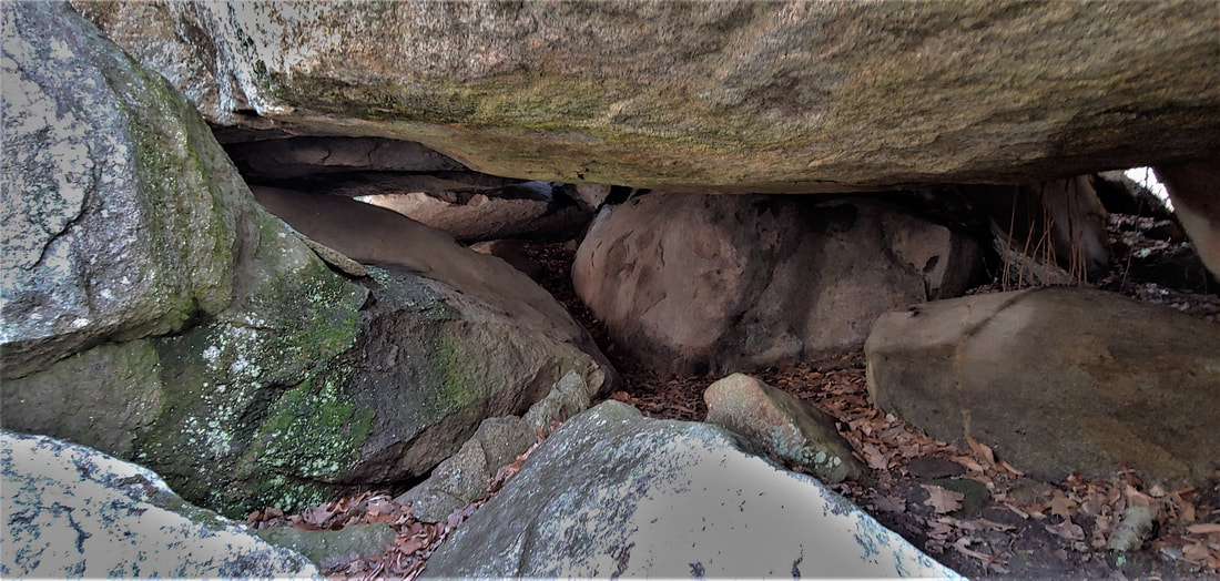
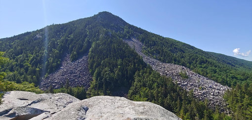 White Rocks Mountain: Our route took us up the talus slide to the right. Its west face gouged into a precipice by the continental ice sheet lumbering through the Valley of Vermont, White Rocks Mountain, just south of the City of Rutland and the Killington Ski Area, is one of the finest cliff faces along the Long Trail. I'd visited the view ledge (elevation 2,100ft; 0.2mi down a spur trail) during a multi-day Long Trail hike in the 1990s, but only this year got around to visiting the storied Ice Beds which lie at the foot of the massive talus slope (one of the largest barren talus slopes in New England) at the mountain's foot. The talus and cliffs are made of white quartzite, formerly beach sand millions of years ago, lithified by continental collisions. The rock is very smooth and resistant to weathering, making it difficult for plants to take root. The white color of the rocks reflect light, keeping the cavities below the enormous boulders cool year round and slowing the melting of ice and snow that accumulates in the winter. The result is natural air conditioning, making the ice Beds a great destination on a hot summer day. Gallery: Ladybug on lichen on quartzite; view from the top; Elizabeth emerging from boulders; cat's claw found in owl pellet; taking a rest partway up; scrambling over boulders. There is no trail connection between the Ice Beds Trail and the cliff top vista; it's out-and-back on two separate trails (same trailhead, off VT 140/ Sugar Hill Road, at the White Rocks National Recreation Area parking lot) on account of the cliffs. Both routes are great hikes on their own: The Keewaydin Trail, Long Trail, and Overlook Spur must be taken to get to the cliffs (3.2mi OAB), passing a waterfall along the way, and the Ice Beds Trail climbs a barren knob with fantastic views of the ledges and talus slopes before dropping to the bottom of the boulder field (1.5mi OAB). We weren't intending to, but once we started exploring the boulders one thing lead to another and soon we were half way up the talus and decided to continue bushwhacking the rest of the way. Most of the talus boulders were quite huge and impossible to move even two-thirds of the way up the slope but there were occasional loose rocks that would shift under our feet, so care was required. The upper part of the climb involved scrambling up a knife-edge arete and steeply climbing up the treed side of it to avoid the cliffs. One could easily end up in a not-so-good place without solid navigation instincts and a good understanding of rock slides and topography. Once at the top, we picked up the Overlook Spur and followed the trails back to the parking lot, stopping at the waterfall to dip our feet along the way. Don't try this at home, kids. --Paul-William 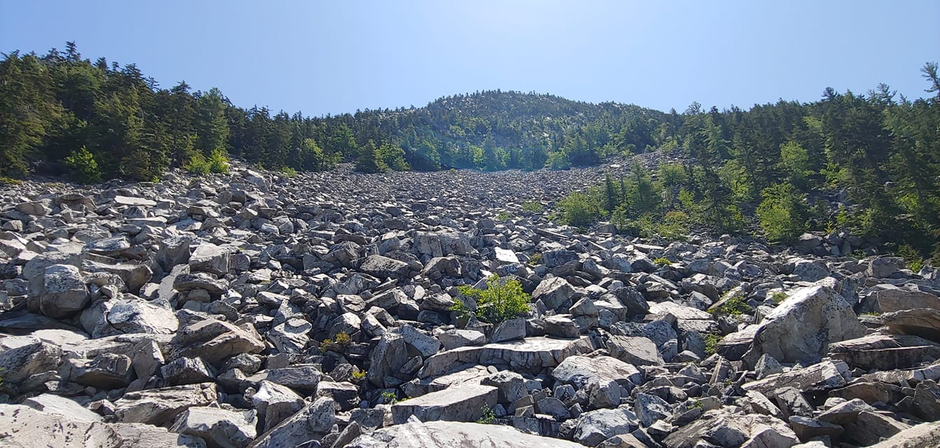 Looking up the talus toward the top. 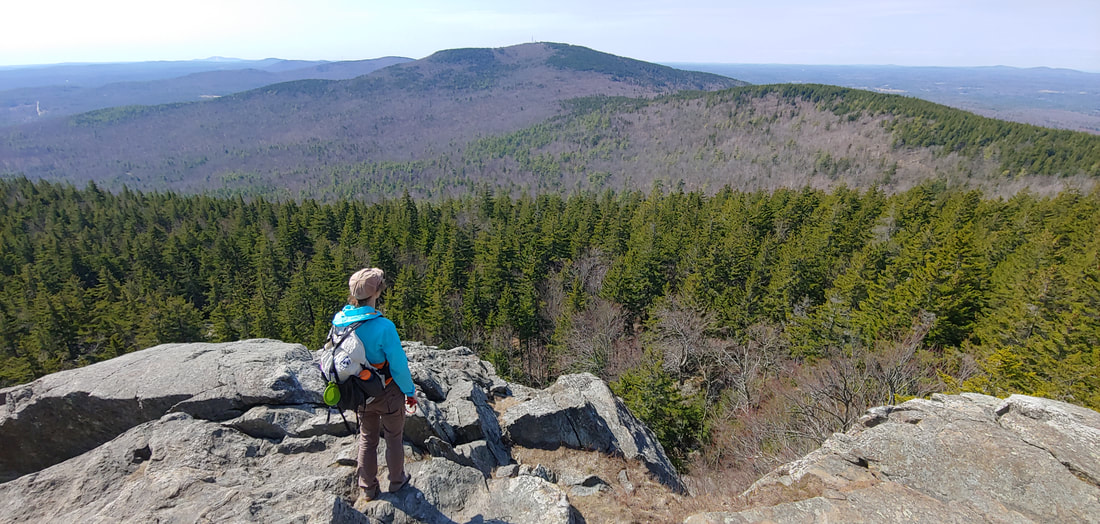 View from the Cliff Trail on North Pack Monadnock North Pack Monadnock (south-central New Hampshire), 2,276 feet, occupies the northern-most crown position on the linear, 20-mile Wapack Range. The “Pack” in Pack Monadnock is supposedly a Native American language term (more likely a corruption of one) for “little” to distinguish the two Pack Monadnock peaks from their higher and more famous neighbor to the west, 3,165 foot Mount Monadnock (also called Grand Monadnock). North Pack’s sister peak, South Pack Monadnock (2,290 feet) is located just to the south of North Pack and sports a summit fire tower. The Wapack Range and the Wapack Trail derive their shared name from a mashup of “Watatic” (the name of the mountain which occupies the southern foot of the Range) and “Pack.” The entire range is truly sweet hiking, with many surprising ledges tucked along ridge crests studded with spruce trees—an airy, remote ramble reminiscent of the craggier subalpine summits in the White Mountains further to the north. This juxtaposition of southern latitudes and northern ecology makes the mountain rich in biodiversity. North Pack is mostly enclosed and conserved within the Wapack National Wildlife Refuge, administered by the U.S. Fish & Wildlife Service. North Pack is popular but not nearly crowded as Grand Monadnock can be. Hikers who bring dogs with them often choose North Pack as a substitute for higher Grand Monadnock where dogs aren’t allowed (park rangers at the latter mountain often exile disappointed hikers to North Pack, knowing it will cheer them up).
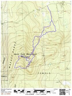
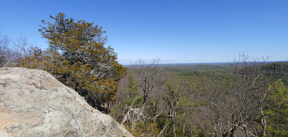
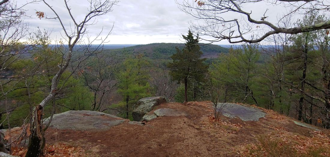
Our loop (7.5 miles/ 1,990 e.g.) began and ended on Ted’s Trail (trailhead on the east side of Mountain Road in Greenfield. You can follow our route ("most scenic route") on the map below and peruse the photo gallery of our trip.
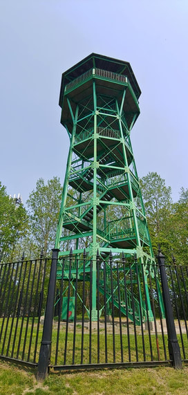
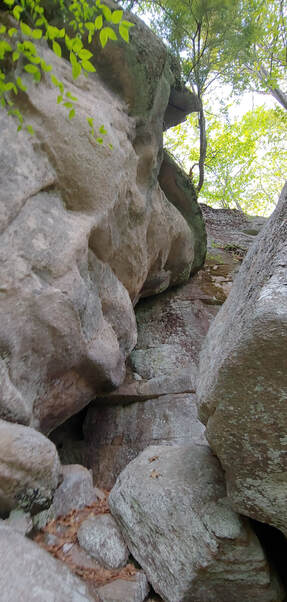
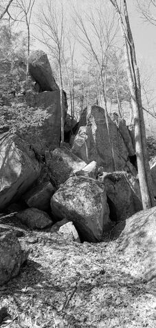
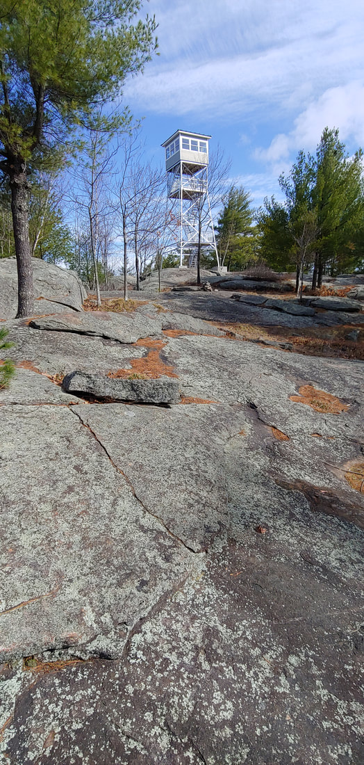
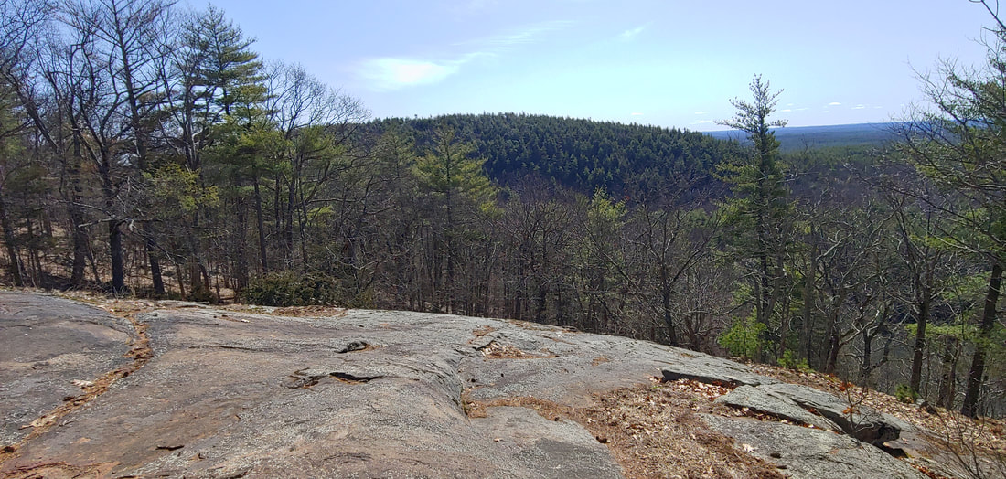
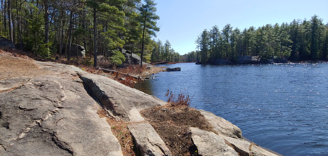
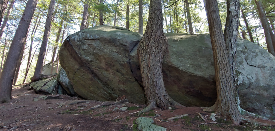
The Pawtuckaway boulder field is something to behold--it ranks up there with some of New England's most profound boulderscapes (Smuggler’s Notch, Carter Notch, Mahoosic Notch, etc.) in terms of its sheer number of boulders and its general bouldery goodness. Besides the boulders, one can hike up the three peaks of the mountain, as I did: South Mountain (908 feet), Middle Mountain (800ft) , and North Mountain (1,011ft). Don't let the low elevations fool you--Pawtuckaway makes up for it in a generosity of ruggedness. 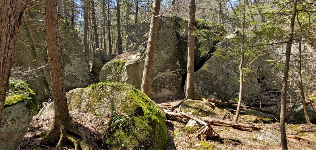 Pawtuckaway Boulder Field South Mountain hosts a well-curated fire tower and many open ledges and is a fine short hike in its own right. The out-and-back trail to Middle Mountain is an uninspiring woods road but there is a sweet, sunny ledge at the end of the trail (with a cameo of the South Mountain fire tower) and Middle Peak gets less visitation than the other two peaks. North Mountain is blessed with an excellent array of ledges and overlooks; its north slope plunges into a part of the boulder field colorfully known as the Devil’s Den. Amidst the fantastic mess of ledges and boulders in Pawtuckaway are nested a number of attractive ponds and wetlands. Round Pond, with its many lazy rock outcrops, is perhaps the most scenic of the park's water bodies. 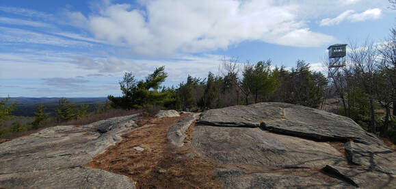 South Peak and its tower. A glance at a topographic map of Pawtuckaway reveals the mountain's unusual, graceful symmetry, a product of its past as a volcano--the great tooth of it worn down by the eons into an almost perfectly circular series of rocky stubs (in geologic terms, a "volcanic ring-dike"). Rim-to-rim, the old core of Pawtuckaway is about a mile across (there is also a smaller inner ring). Volcanic cores aren't unusual mountainforms in New England, but so few are well preserved in their original molten design as Pawtuckaway is. Even the continental ice sheet--which took its colossal wrecking ball to the north rim of the old volcano, tearing out a million boulders and strewing them like primitive toys below--hasn't ruined the pleasing topography of it.  Pawtuckaway's glorious volcanic symmetry: From NW to SE: North Mtn., Middle Mtn., South Mtn. The Boulder field is at one o'clock; Round pond is at two-thirty o'clock. To get to the start of my hike, I parked at Reservation Road, entering from Tandy Road in Deerfield, NH (amidst a comedy of Covid-era signs from the locals: "your GPS is wrong, go home" ). Parking does fill up fast—on sunny weekends it's wise to get there bright and early (don't even bother trying the limited north parking area on Round Pond Road—you won't beat the rock climbers vying for spots). Making the grand loop over South and North Mountain is pretty straightforward (South Mountain Trail to Boulder Trail, to North Mountain Trail and back to start) and a worthy loop, but squeezing in Middle Mountain, which is serviced only by a dead-end trail, requires some gymnastics (I cheated with a bushwhack shortcut). Shorter loops to just the North or South Mountain are also possible, and longer routes can be had from the park's lakefront entrance to the east at Pawtuckaway Pond (busy in summer) where there is also a campground. There are over 30 miles of trail in the park, including foot paths and woods roads. Some of the woods roads are multi-use trails--expect to see mountain bikers and in winter, snowmobilers. Although it was too early to try during my March visit, I suspect that Round Pond is a good place for a dip on a hot summer day. See the gallery below for more photographs of Pawtuckaway. I hope you will visit this fine bouldery wonderland of a mountain! --Paul-William 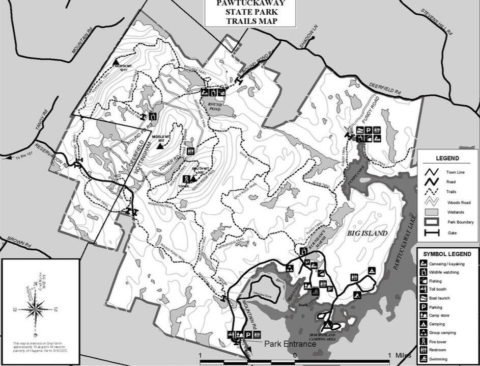 |
TOPICS
All
Humor (The Parsnip)


|





 RSS Feed