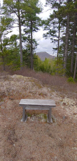
If you are not already familiar with it, the practice of Gridding involves obsessively hiking each and every peak in an elevation-based list of high peaks once in every month of the year. You keep track of them in spreadsheet fashion, thus the term "grid." Some people even grid the same peak list multiple times. The original “Grid” got its start with the New Hampshire 4,000 Footers list—to grid the 48 summits requires summiting 576 times. The practice of gridding has since metastasized to many other peak bagging lists. If Gridding sounds like fun to you, read no further. But if the idea of Gridding makes you pine for that naked January hike, but you fear you’ll succumb via peer pressure or a sudden midlife crisis, here are 9 compelling reasons to not become another Gridiot—and a bunch of fun hiking goals you can adopt instead. 1. When you die, you’re going to be dead a long time. Do you really want to spend precious hours of your short life hiking Mount Waumbek 12 times? The Grid may not be entirely boring (i.e. not in the same general category as watching C-Span or a film of granite slowly eroding) but the world is full of new, spectacular places to visit and things to experience. If you’re thinking of spending your summer gridding vs. taking that trip to the Grand Canyon, or spending more time with your grandchildren, well. . . 2. If everyone is doing it, it’s no longer cool. A few years ago, people were dumping buckets of ice water over their heads and taking photos of themselves planking in strange and precarious places (never mind bathroom mirror selfies). There are still people who will get sucked into doing the Macarena and Chicken Dance at weddings without any shame or sense of cliché. You don’t want to be one of those people. 3. Your regular hiking friends are going to get bored with you. “What are you doing this weekend?” “Ah, um, I’m hiking Mount Cabot. Want to come?” “Shit no. I just did that with you a couple weeks ago. Want to do something different with me this time?” “Oh no, that was September, I need it for my October Grid. . .and my November Grid. . .and. . .” “Well, I guess I’ll see you in a few years.” 4. All your social media posts read exactly the same. You were already a little boring when the only thing you posted on social media were hiking updates. Now all you do is post hiking updates about the same peaks over and over again. Zzzzzzzz. . . 5. There is a 5th dimension, beyond that which is known to man, a world in which trailhead parking lots are always full, and the waiting line for the summit photo stretches halfway down the mountain. . . . a world that might be called “The Gridiot Zone.” High profile list peaks are already overcrowded. Parking spaces and elbow room on the trails is in short supply. If everyone were to decide they wanted to grid. . . even a 10% increase in gridding would be too much horror for our puny minds to imagine. And do you really want to be the jerk that deprives a family with young kids of their parking spot and opportunity to do their first summit of Mount Jefferson—just so you can selfishly hike it for the umpteenth time? 6. All your hiking photos look exactly the same. Zzzzzzzzzz. . . 7. Why be a monkey. If you hiked the White Mountain 48 or the Adirondack 46 with a monkey and an organ grinder in tow, at least you’d be original. 8. There are nearby places far more spectacular than some of the peaks on the typical grid list. Percy Peaks vs. Cabot. Indian Head vs. Blake. Tumbledown vs. Redington. More than a few of the alternatives are even tougher hikes than the list hikes. Really, if you’re going to grid a list, grid a list of spectacular summits, not a list based on something as unimaginative as an arbitrary elevation cutoff. 9. If you need something like the Grid as an excuse to hike, what do you need as an excuse to live? HAPPY ALTERNATIVES TO GRIDDING:
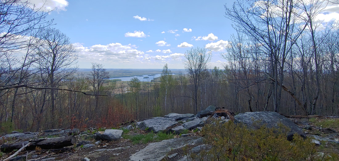
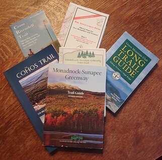
the New England Trail (CT, MA, 215mi with an unofficial extension from the state line to Mt. Monadnock in NH), Long Path (NY, 357mi), Finger Lakes Trail (NY, 580mi), Northville-Lake Placid Trail (NY, 138mi), Taconic Trail System (CT/NY/MA/VT; 2 trails, 58mi), Midstate Trail (MA, 92mi), Warner Trail (MA, 30mi), Bay Circuit Trail (MA, 200mi), Wapack Trail (MA, NH, 21mi), Monadnock-Sunapee Greenway (NH, 48mi), Sunapee-Ragged-Kearsarge Greenway (NH, 75mi), Cohos Trail (NH, 170mi), North-South Trail (RI, 77mi), Hills-to-the-Sea Trail (ME, 47mi), Sebago to the Sea Trail (ME, 28mi), and Georges Highland Path (ME, 60mi). There are completion patches and certificates for many of these shorter long-distance trails.  Southern Maine's Pleasant Mountain
 Michael Blair's impressive patch collection (which does include a Grid patch)
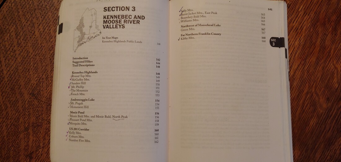 Checking off hiked peaks in the AMC Maine Mountain Guide
 Maine's Tumbledown Mountain--as tough and stunning as many of the better Grid-list peaks. All in good fun folks--hike whatever makes your feet sing. --Paul-William
0 Comments
Summit lists got their start in the northeast United States in 1918 when a young Bob Marshall set out with his brother to climb the 46 highest peaks in New York's Adirondacks; Marshall's proto-list of high peaks became officially known by the 1930s as the Adirondack 46ers. The Appalachian Mountain Club soon followed with its own list of 46 4,000 footers in New Hampshire (now 48 peaks) officially designated a thing in 1957. The AMC's "New England 4,000-Footers" and "New England 100 Highest" lists are just slightly older and incorporate the highest summits in greater northern New England. A few other lists were added in the latter 20th century (notably 52 With A View) but pervasive "list-ism", in terms of raw popularity of the practice, and the proliferation of lists, really didn't take off until the early 21st century. In the northeast we now have lists dedicated to the high peaks of the Catskills above 3,500 feet in elevation (33 summits), the Adirondack Firetower Challenge (for those who like to climb things that sit atop other things), the 52 With A View list (created to honor the wonders of sub-4,000 foot summits in New Hampshire) and the New Hampshire Trailwrights 72 list (which includes mandatory trail work as a requirement--shouldn't they all?). For the OCD-inclined there are now "Grid" lists, which require that you hike each of the peaks in a previously established summit list once in every month of the year. "Gridding" started off with the New Hampshire 4,000 footers and has quickly metastasized to include other lists. Then there is "Redlining", which could more aptly be called "trailbagging" (now called "tracing" in certain circles to differentiate it from the term's superficial resemblance to the completely unrelated but evil economic practice of "Redlining") where you hike all the trails contained within a particular hiking guidebook and highlight them on a map or fill out a spreadsheet to keep track. And there are lots of "off the radar" lists that lack formal recognition (at least for the moment) but which have an increasing base of devotees: county high point lists, town high points lists, range lists, 3,000 footers lists, 2,000 footers lists, etc.
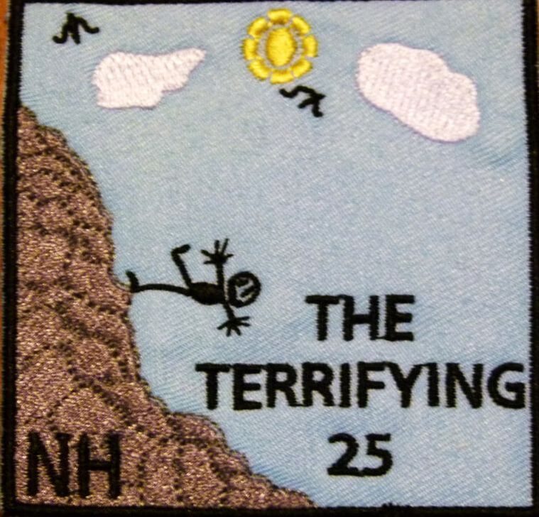
Recent lists of this ilk include the Saranac Six, the Maine 4,000 Footers, the Go North 9ers, the Camden 10, the Forest Society's "Reservation Challenge" --among others. The sadomasochists have also jumped on the bandwagon by grouping several popular high--mileage popular traverses and shorter summit lists into an extreme "ultra" hiking challenge--where you have to do each item within a 24 hour period, hopefully without peeing blood secondary to a NSAID overdose or bonking from electrolyte depletion. The acronym "FKT" (Fastest Known Time) has become popular among those seeking their temporal 5-minutes of fame by doing this or that list in record time over a season, a year, a 24 hour cycle, or whilst hopping on one leg, crawling to the summit, or hiking it all naked or backward-- or whatever else hasn't been done before (I am waiting patiently --no pun intended-- for the pop-culture fad of FKT to fade and the SKT star to rise. In my mind, SKT and "reverse ultras" are a heck of a lot more challenging--go ahead, think through it). On top of all that, there are both official and unofficial winter-season lists of many of the above. Many list officials will also offer you a patch and cert for your dog--as if your dog really cares about hiking patches and you aren't really living vicariously through your dog by it. The listing phenomenon is not limited to New England of course--you can collect lists from other states and foreign nations, and if you add in completion lists for long distance trails (there are ultras rights to those too, where you do more than one in a year) you'll be busy for the next ten reincarnations--provided your karma doesn't favor a return as a domesticated goat. I fully expect these lists to proliferate such to the extent that the gravity of the available patches sewn or glued to your backpack will someday weigh more than the pack itself plus essential contents. Of course you don't need to subscribe to any of these lists to enjoy hiking in all its goodness. And there is nothing stopping you from creating your own, personally meaningful list of destinations. Why be so imposed upon then? My friend John Clark (currently doing the White Mountains Grid) likes to remind me that peakbagging is what motivates him to get out of the bed on weekend mornings. Not a few people I know do need that structure. Others do it for a variety of reasons, some rational and wholesome (comradery among peers, a sense of accomplishment, the psychological reward of closure, or because they already hiked the prettiest mountains, 90% of them happen to be list peaks and why the heck not do the last few) and some questionable (peer pressure, social media smackheadery, anorexia athletica, or failure of imagination). It's the case that people will either evolve or devolve through the experience of hiking: a list itself is a neutral thing (I like to think more hikers tend to evolve than devolve but perusing hiking social media makes makes me doubt in humanity). Given all the lists out there to choose from, and the lack of enough time in your short lifespan (even if you are a trust-funder or couch-surfing dirtbag hiker), it makes sense to choose wisely. One might chose to favor lists that are uncommon or interesting in creative ways (as the original ADK 46er and AMC White Mountains 4,000 footers lists were uniquely so back in the day). In that respect, the Terrifying 25 list (T25) really stands out.
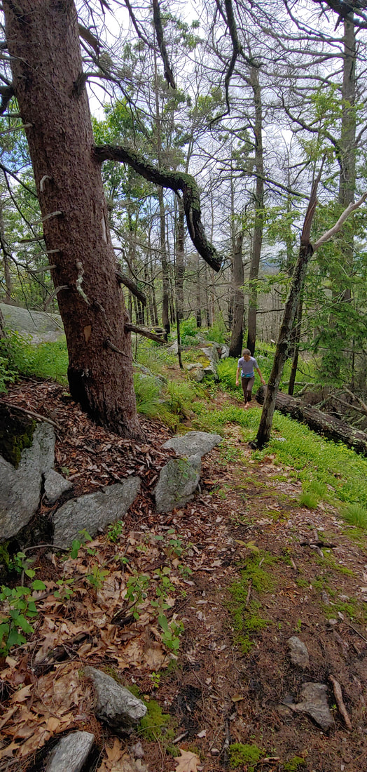
Not only are the trails challenging, they are also some of the most scenic and interesting trails in the White Mountains. Take for instance the Subway--a trail that passes underground through boulder caves, or the Table Rock Trail, with its finger of skinny stone dangling over the remote harrow of Dixville Notch. To get the comical T25 patch you have to hike 20 core trails plus 5 out of 14 "elective" trails on the list. The rest of the rules are clean, no-bullshit: no catering to egos ("Hike this list for fun and adventure, not for record-breaking or bragging rights. . . there won't be any public announcements of who's the youngest, oldest, fastest, slowest, etc. person to finish the list"), no dog patches ("dogs don't care one iota about lists, patches, or any other silly human status marker"), no winter patches (some of the trails are technical ice climbs in winter. . .and the list is intended to be non-technical), and no fuss about how you get to the start of the trail (you could, for instance, drive the Mount Washington Auto Road to get to the top of the trails that originate in the Great Gulf, and hike down from there--"cheating" by most list standards). 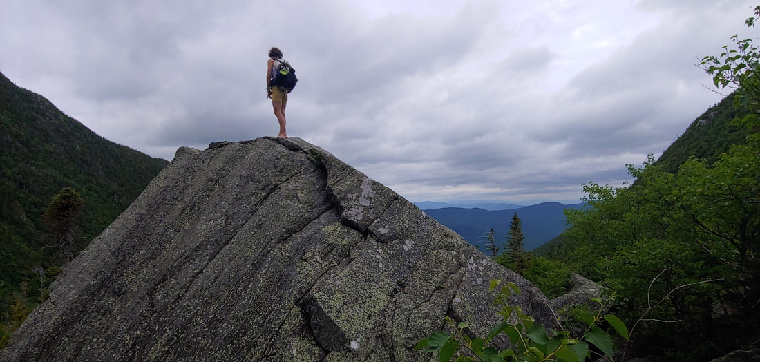 A hiker looking small on the T25 King Ravine Trail There is something inherently refreshing about a hiking list that is centered squarely around fun and exploration and which statedly resists being co-opted into a retentive status contest, even as those seeking status will surely collect the patch as a notch-in-the-belt and brag on social media about how badass they were in conquering the Terrifying 25. So be it--you can ask people to be lighthearted but you can't expect it. For myself, just contemplating the silly T25 patch reminds me of how silly and miniscule my own ego ranks in the face of geologic time and the eon-spurning, cloud-crowned mountains: still beautiful, mysterious, demanding, and god-like even after my 30+ years of obsessive hiking. I'm not but a jester dancing at their feet. Given that hiking lists are popular and will continue to proliferate, I propose that we come up with more fun lists like the Terrifying 25. Consider it a challenge: enter your proposals in the comments below. --Paul-William As usual, I'm busy poking my nose into the woods. Here's a recap of what I found or revisited in Vermont this spring. Happy hiking! --Paul William 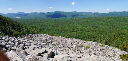 White Rocks talus field Featured Stories: Bushwhacking the Talus: White Rocks Mountain & the Ice Beds PEAK BRIEFS (in no particular order): 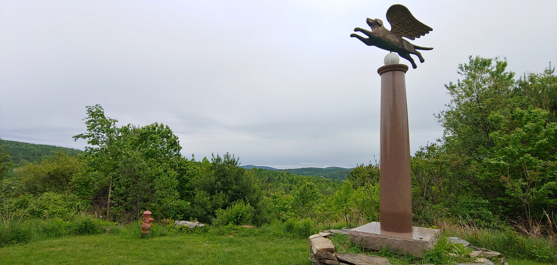 A mountain gone to the dogs. So called “Dog Mountain” and the associated Dog Chapel and Angel Dog Monument (a golden, winged beagle somewhat reminiscent to the cartoon superhero Underdog) with in-house dog art gallery in St. Johnsbury, Vermont are a wonky slice of Vermontarcana. The chapel and trails are dedicated to canine lovers and the views from the hilly fields along the trail system make for a nice jaunt. 2.0RT or longer. 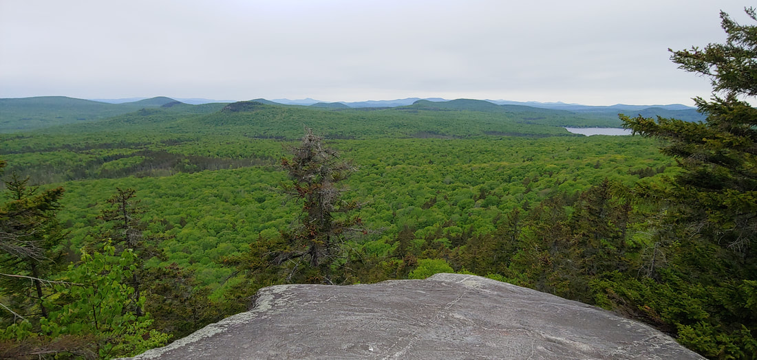 A hill with a little bit of the Devil in it. Devil’s Hill (2,050') is the latest addition to the extensive network of trails on state land in the Northeast Kingdom’s Groton State Forest. The peak likely got its name for hatefully having cliffs on two sides. There’s a sweet view northerly and westerly of the wilderness of the state forest from an open ledge near the summit, and a narrower view southerly down toward Martin Pond. The road to the trailhead out of Peacham, VT is about as narrow as they make them; expect to back up a long way if you bump into an oncoming car. Longer jaunts down to huge Peacham Bog can also be made from this point. 1.7RT
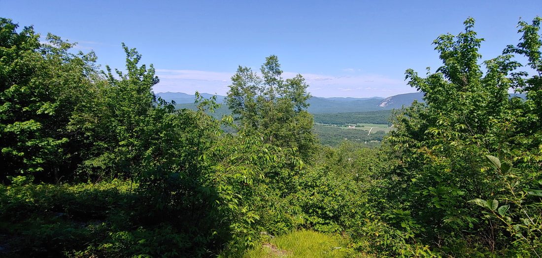 It's a traditional Scottish name, it doesn't mean you've got tin stuck in your mouth. Tinmouth Mountain, located in the interestingly-named town of the same name, is part of the Taconic Range, the oldest part of the Appalachians. There's a halfway decent view of the Green Mountains and White Rocks from a ledgey area part way up where the trail ends but there are plans to extend the trail system further up the mountain (2,835 summit), perhaps to the other side where the town maintains a community cabin. It's a sweet short and steep hike in its current manifestation, but not something you'd drive hours to visit by itself. If you're in the vicinity of nearby Killington for a Long Trail or NE4K hike and have some spare time to fill, it's worth a jaunt. 2.3RT As usual, I'm busy poking my nose into the woods. Here's a recap of what I found or revisited in Maine this spring. Happy hiking! --Paul William Featured Story: The Camden Hills, #4 in my article Tired of the Snow? This Spring, Hike Where It Ain't. PEAK BRIEFS (in no particular order): 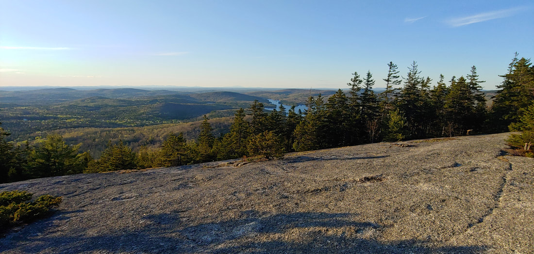 Slabbiest of the slabbies, Bald Mountain (1,261') in Deadham, Maine is located just inland from Acadia National Park. Even the parking lot is located on a bare granite slab, and over 9/10ths of the 0.8mi mile hike to the summit is entirely on a continuous, unbroken sheer slab, making it the most continuously slabby trail in New England. There are some pretty astonishing views along the trail to the south below the summit, and scattered ledges with views reached by the maze of trails at the top. You share the top with a few towers, but won’t feel too distracted by them. 1.6RT
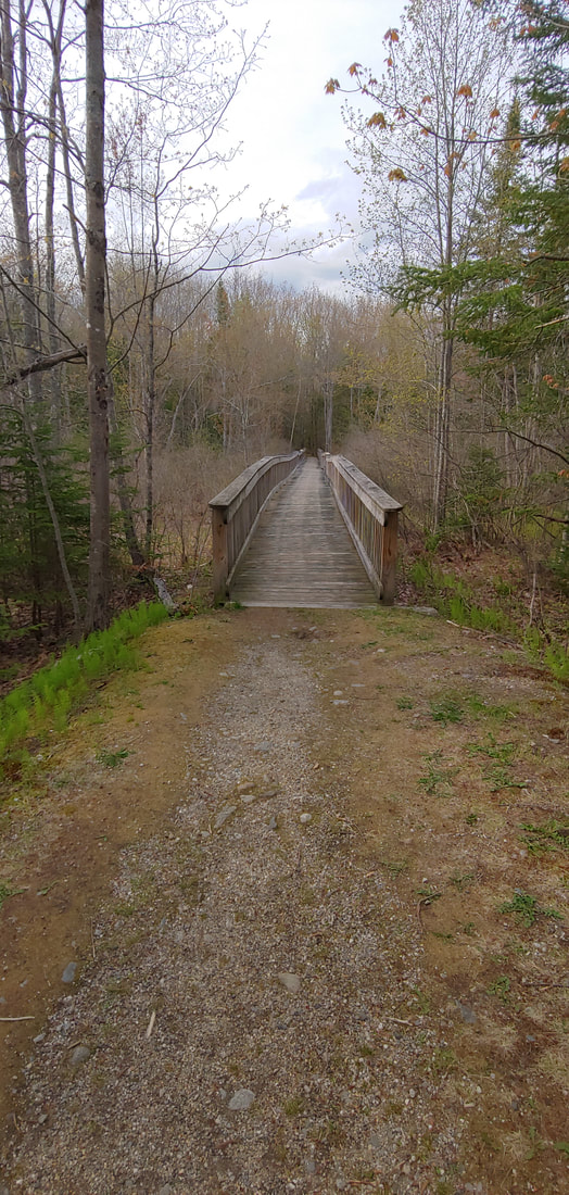
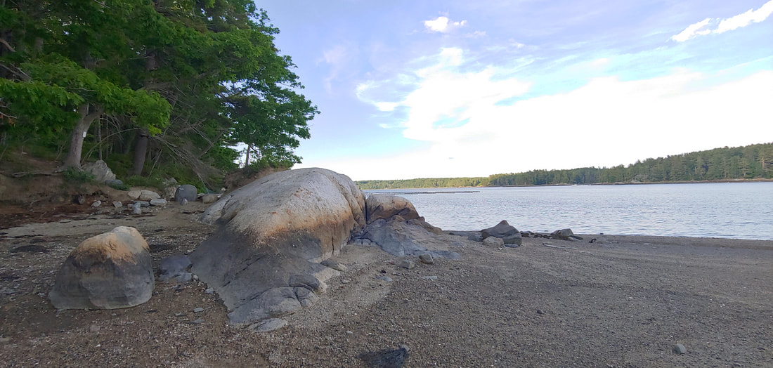 Hiking the River Link on Boothbay Penninsula: Dodge Point and Mt. Hunger. This trail (5.0 one way) spans the peninsula from the Sheepscott River to the Damariscotta River, passing over the high point of wooded Mt. Hunger (275’) and through beautiful Dodge Point Public Reserved Land. It’s the product of three different land trusts, town conservation commissions, private property owners, and the state of Maine. There are old foundation ruins, old mica mines with pits and tailings piles glinting with minerals, but the highlight is Dodge Point, with an extensive network of trails along alternately rocky and gravelling shore at the tidal Damariscotta River. Bring a picnic lunch and swimsuit, and keep an eye out for whales and seals. 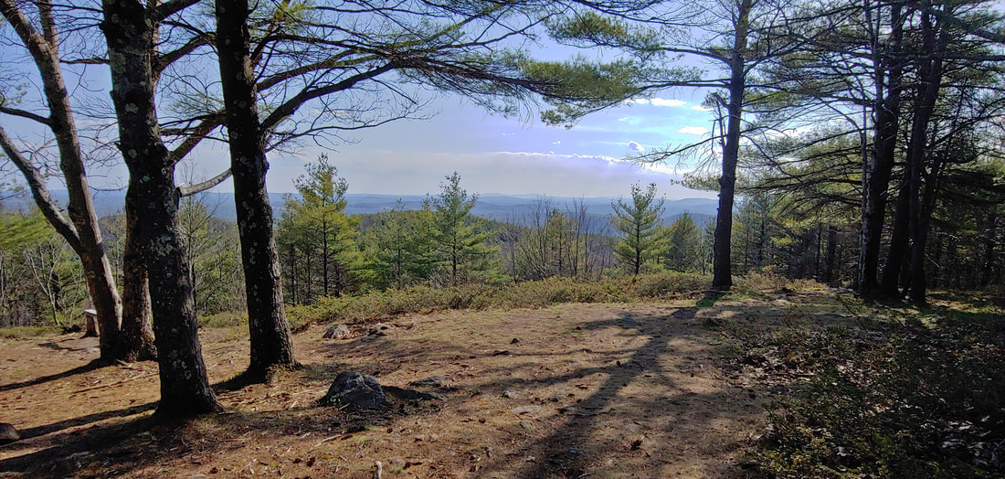 It’s turtles all the way through at Sawyer Mountain. The extensive trail system on Sawyer (1,200') maintained by Frances Small Heritage Trust in Limington and Limerick, is uniquely marked with pieces of wood engraved with the shape of a turtle. There are two trailheads, one to the S off Nason Road (3.0RT), one to the N off Christian Hill Rd (4.8RT). The south trailhead offers boulder fields, the north trailhead offers more loop possibilities and an old cemetery. The good views from a cleared ledge at the summit will stay that way if someone remembers to give the trees a new haircut. 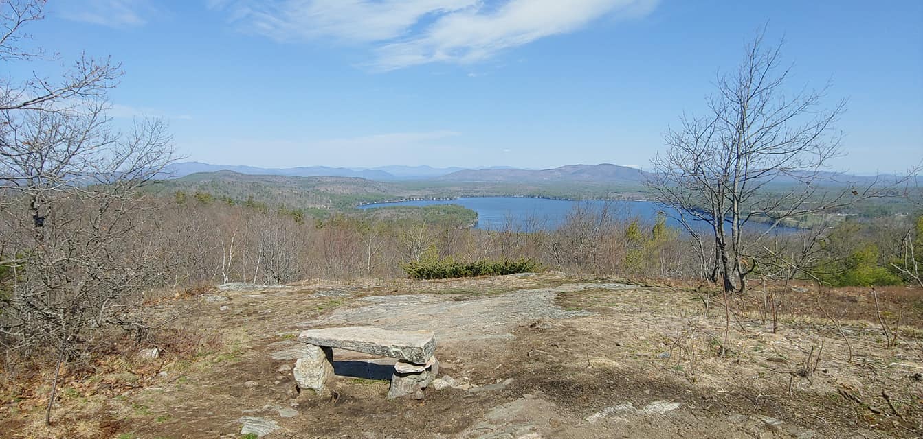 Stepping over the line at Province Mountain (1,176'). Trailhead is in Wakefield, NH, summit is in Newfield, ME. The marked but private trail, located at a private campground, ends at a open summit with fine views toward the White Mountains and Province Lake. If you go, park on Route 153 where parking is allowed, and respect the campground residents. 2mi RT. 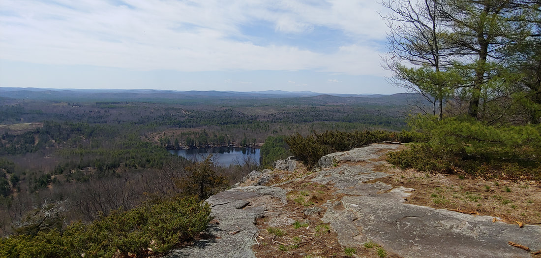 One sweet old ledge. Randall Mountain (1,100') in Parsonfield presents a dignified open ledge looking southward. The ledges were formerly sheep pasture as evidence by the remnant red cedar and juniper. An unmaintained and partly overgrown jeep track ascends from the west. The land isn't posted--work to keep it open by treating it with respect. 2.4RT. 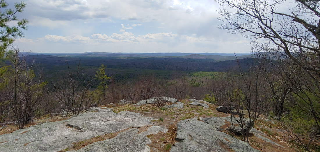 Cedarless Cedar Mountain (1,220'). Ironically, Cedar Mountain has no cedar trees, apparently having given them to nearby Randall Mountain also in Parsonfield. Cedar at one point hosted a fire tower; nothing of it remains but the views from a ledge just below the summit are still fine (the true summit is off trail about 0.1 and wooded). I had no intel on this peak but easily found the old fire wardens road, still being used by ATVs, from the northwest at Merry Hill Rd (where there are some fun old cemeteries and ruins). The road is a bit beat up but the view is worth the hike. The land isn't posted--please keep it that way by respecting it. 2.8RT. 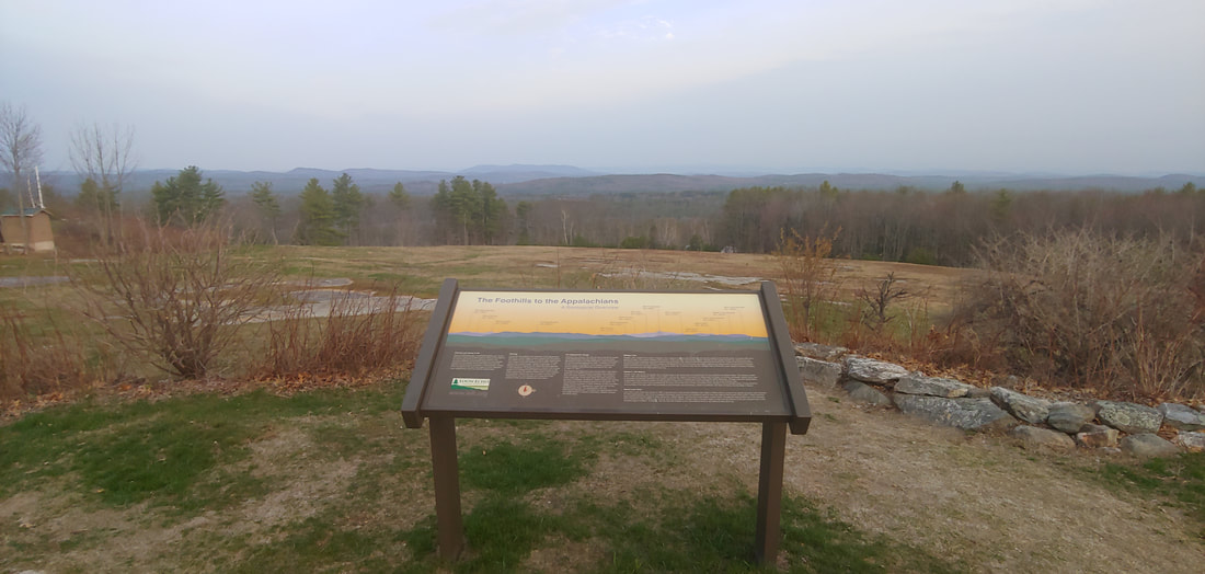 Hackers and Quakers, all the same. Hacker’s Hill (753’), formerly known as Quaker Hill, previously owned by Quakers, now owned by Loon Echo Land Trust, is a fine bald granite dome located in Casco. There’s a paved road to the top where there are interpretive signs and religious icons. The views are sweeping. Real hikers will want to park along the road and walk up the short 0.2 to the top. 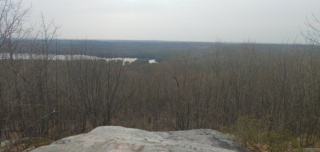 We regret to inform you that the cat was replaced with beer. Black Cat Mountain (879') in Poland and Raymond is accessed by both a cell tower service road (from the SE) and a separate snowmobile trail (from the NE). The summit has been taken over by communications towers but there's a good open ledge just below it that is trying to retain its dignity. Someone with a poor sense of geography placed a sign there christening it "Beer Hill." I found no beer or cats. I recommend the trail, not the road, but neither are inspiring routes. 2.0RT 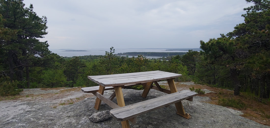 Two for one: Robinson Rock (a.ka. Bumper Rock) and Merritt Mountain. These two seaside crags are located in the resort of Sebasco in Phippsburg, ME, on a private trail system. The trails are not posted against public access and can be got to from Sebasco Road 0.7mi from Route 216 where there are small signs and parking pullouts. The trails, well marked and color coded, are visible in OSM and the hikes are listed in AllTrails.com. Both crags offer good views out over Casco Bay. Merritt can be got to via a nice 2.2mi loop. Robinson is a 1.1mi loop. Be a respectful guest if you go; don't go exploring on the trails that lead into the developed part of the resort. 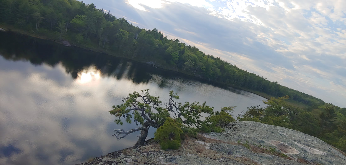 Get your prehistoric fix at Dinosaur Rocks. The rocks are part of a linear series of cleft crags stretching several miles and contained within land owned by the Town of Phippsburg, Phippsburg Land Trust, and Bates College. There are trailheads on ME Route 209 and at the Bates College research station off Route 209 (0.35 miles from ME 216). The trails wind over and beneath the ledges in Tokienesque fashion. Last time I was here I approached from the northwest trailhead; this time I did it from the Bates College trailhead and found it superior because it included the attractive Meetinghouse Pond with barren ledges above. There isn’t much in the way of views from the upper crags but the maze-like rock formations are really fun to explore. If you park at Bates, be respectful of the parking needs of the college. RT to the rocks from Bates is about 3.5mi but longer hikes are possible. 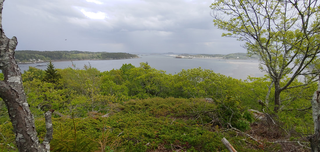 Cox Head (I’ll leave humor to the imagination) is a rocky knoll in Phippsburg, ME overlooking Fort Popham and Popham Beach (IMO, the best sand beach in Maine) from northerly along Atkins Bay at the mouth of the Kennebec River. The loop hike ascends to a fine and surprisingly impressive 100 foot seaside ledge. The land is conserved by Phippsburg Land Trust and located on Green Point Road. 1.0mi RT 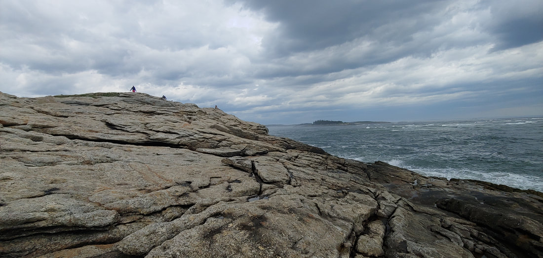 Fox Island at Popham Beach: Walk or swim back to your car, your choice. This one was a bucket list hike for me but I never seemed to time it right. Fox Island, a very cool wave-beaten rocky crag at the mouth of the Kennebec River, can only be got to from Popham Beach State Park in Phippsburg at low tide. Popham Beach is one of the finest in Maine, with a decidedly end-of-the-earth feel to it. Also nearby are historic ruins of Fort Popham and Fort Baldwin, to the west, Morse Mountain in the Bates-Morse Mountain Conservation Area (with the other, even more remote half of Popham Beach--separated from the State Park by the Morse River) and Cox Head to the north (described previously in this post). 1.2RT. 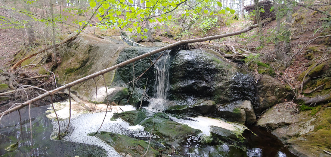 Freaky Skull Falls, Pretty Sprague Pond, and Piney Burnt Ridge. Burnt Ridge, covered with moss, lichen, and pine barrens but lacking views, makes for some fun wooded ledge hiking but the real gems here are the lovely, secluded tarn and swimming hole of Sprague Pond, and weirdly named Skull Falls. There are also some old mica mines in the same trail system to the west on Fuller Mountain which also sports a cleared view to the east. The land is within TNC's huge Basin Preserve and Phippsburg Land Trust's Sprague Pond Preserve. An extensive trail system offers lengthy hikes. For this approach I used the trailhead off Route 209, closest to Sprague Pond but you can reach the system from Meadow Road and Basin Road as well. 4.6RT, with longer options.
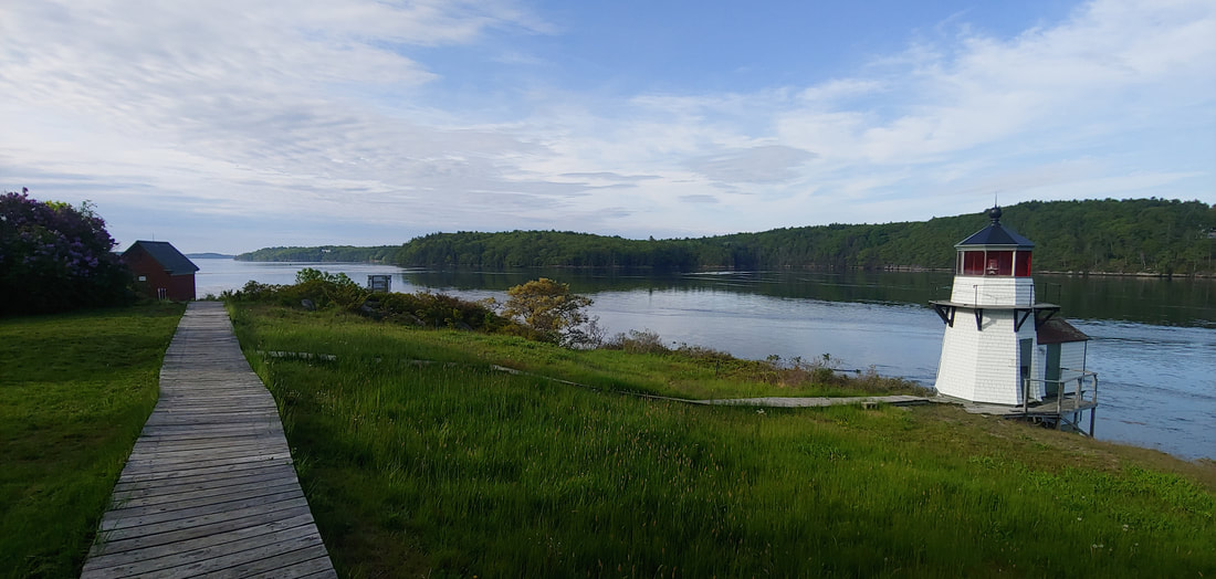
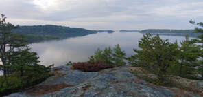
Off on a tangent: Bald Head and Squirrel Point Lighthouse. These two worthy destinations in Arrowsic, ME on the tidal Kennebec River can be got to from a trail system at the end of long dirt Bald Head Road. Bald Head (4.0RT), an open, rocky crag overlooking Back River Bay, and the pretty but tiny Squirrel Point Lighthouse (1.25RT; there aren’t many lighthouses in Maine that are got to exclusively by trail) make are a fine combination hike from the same trailhead. Along the way there are many sweet views of salt marshes and rocky shores. The land is conserved by the State of Maine, the Coast Guard, and The Nature Conservancy.
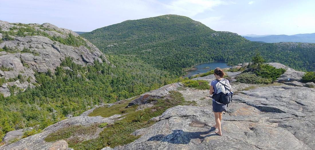
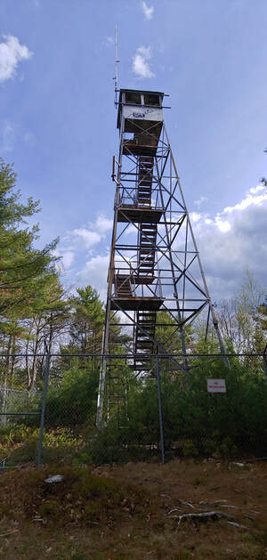
 McGaffey Mountain is not quite a gaff, but almost. I’d hiked the rest of the peaks in the awesome Kennebec Highlands conservation area and was saving McGaffey (1,288) for last because I knew that the trails to the summit were designed for mountain biking and had a lot of switchbacks. I trimmed down some of the switchbacks with bushwhacks but the hike was still too long for the good but narrow view below the true summit of the mountain (the true summit is a wooded ledge with a cairn). 9.6RT; less if you creatively chop off a few switchbacks. 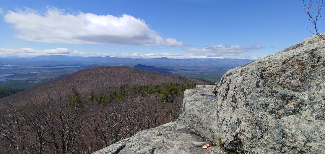 Who says you can’t be both pleasant and rugged. It’s strange to me that many dedicated NH hikers are so often unaware of peaks located just spitting distance over the ME border: that’s the case with regard to Pleasant Mountain (2,006') in Denmark, Maine. That said, there’s no shortage of locals and Maine hikers on Pleasant Mountain, which offers extensive open ledges and excellent low-elevation ridge walking. For this trip in early May, we hiked up the Southwest Ridge Trail OAB to summit then to the crags above Shawnee Peak ski area (8.4 RT). The shorter ascents from the Ledges Trail and Bald Peak Trail are also good but the old Fire Tower Trail is a bland woods road. The firetower at the summit is a bit redundant given the wide open ledges, but only if you don't love those old things like I do. Get to the trailheads early to avoid the rush.
|
TOPICS
All
Humor (The Parsnip)
|


 RSS Feed